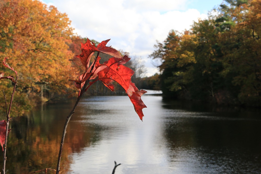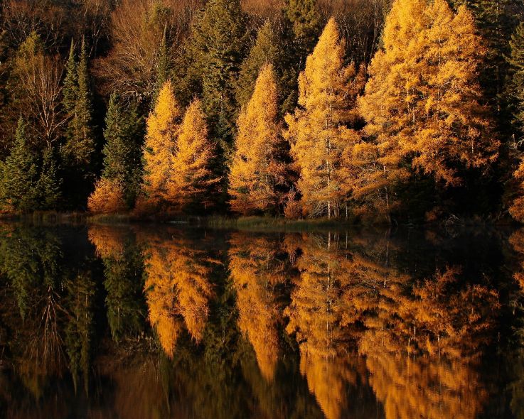
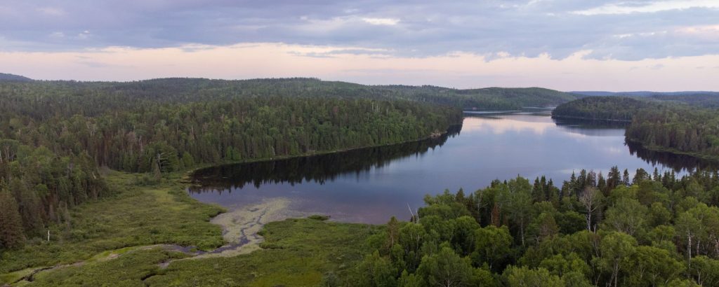
The Boreal Forest is a vast, primeval-looking ecosystem that covers more than half of Ontario. But most of us have never been far enough north to experience it.
The Boreal Forest contains tree species that are adapted to cold winters, and are able to stand temperatures down to -40°C. In the summer, the same forest takes advantage of the very long days (more sunlight hours the further north you go!) to grow as much as it can in a few short months.
This forest blankets two distinct landscapes: the Canadian Shield with its rugged bedrock hills, and much flatter land dotted with wetlands and cut by rivers.
Spot moose, Black Bears, and Canada Lynx, although they are elusive and not seen very often.
Birds, on the other hand, are much easier to see. Eagles, herons, ravens, woodpeckers and lots of small colourful songbirds like warblers are some of the birds you can see and hear along park trails.
Ready to take in all this majesty? Let’s take a virtual hike through the Boreal Forest parks of Northeastern Ontario!
Kap-Kig-Iwan Provincial Park
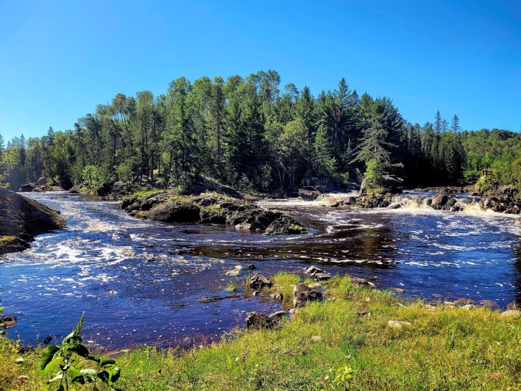
Kap-Kig-Iwan Provincial Park’s High Falls Trail is its signature trail. It’s a short and easy, just a half kilometre walk, but pays off big with a great view of High Falls, where the Englehart River pours over ancient bedrock in a deep valley.
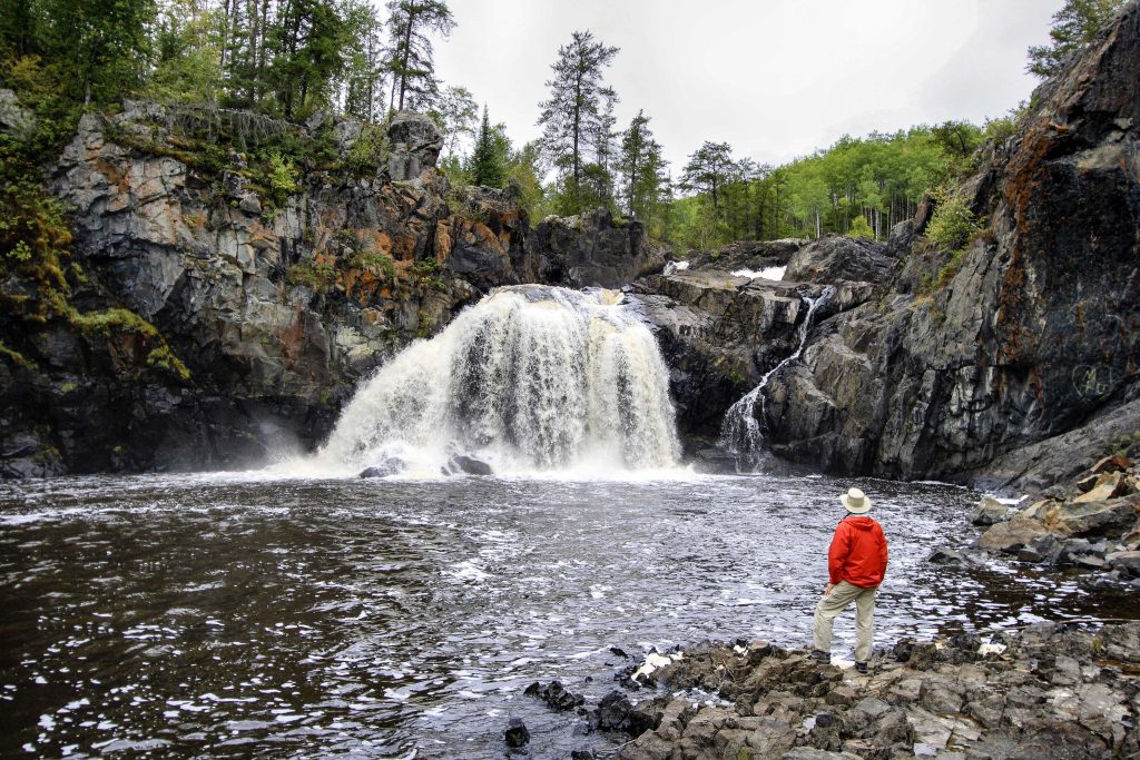
Hell’s Gate Trail is a moderate 2.5 km trail, which allows hikers to trace the Englehart River past waterfalls, rapids in a valley carved through the surrounding Boreal Forest.
Boreal birders will love the Upland Circle Trail. This 5 km trail takes visitors through pine, birch, and poplar stands.
Esker Lakes Provincial Park
Looking for a new trail to explore the Boreal Forest this summer? The short but scenic Lonesome Bog Trail at Esker Lakes Provincial Park might be just the ticket!
This 1.5 km interpretive trail sweeps around Sausage Lake and travels through a variety of habitats, introducing visitors to Boreal Forest ecosystems and ancient glacial landscapes.
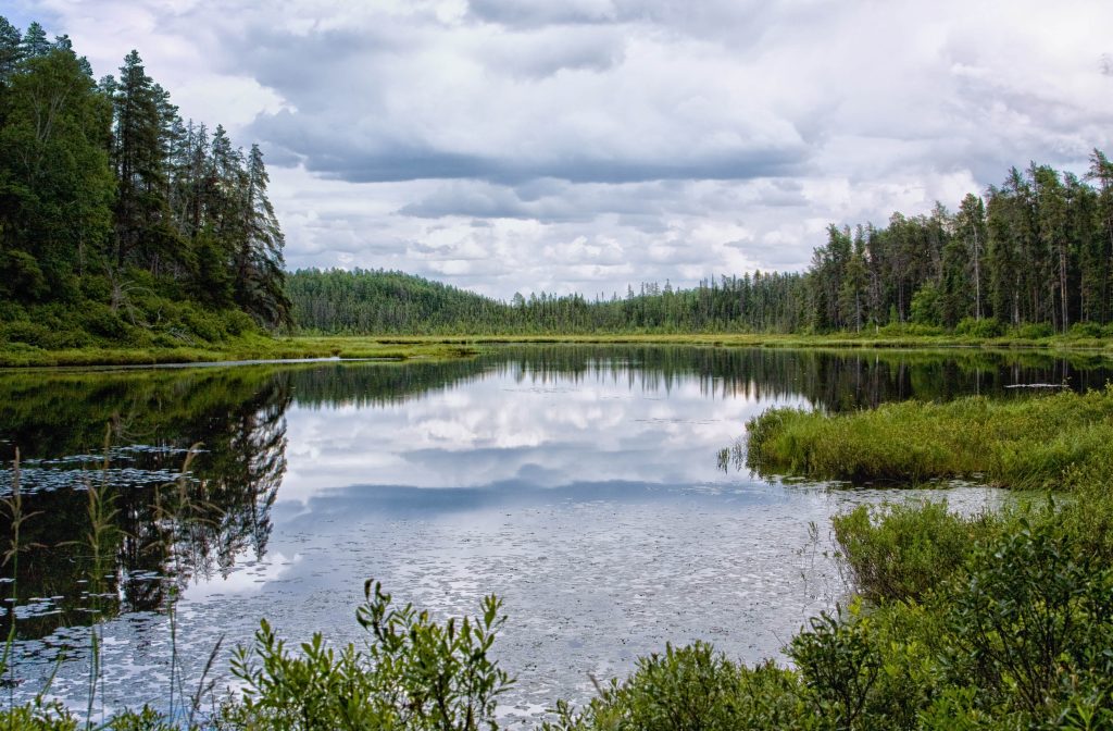
Esker Lakes contains a section of rolling hills and small lakes set into the Boreal Forest.
The hills are part of the bed of an ancient river that once flowed on glacial ice, and the lakes were formed when huge chunks of ice were buried under sand and gravel, keeping their shape when the ice melted, and filled with water.
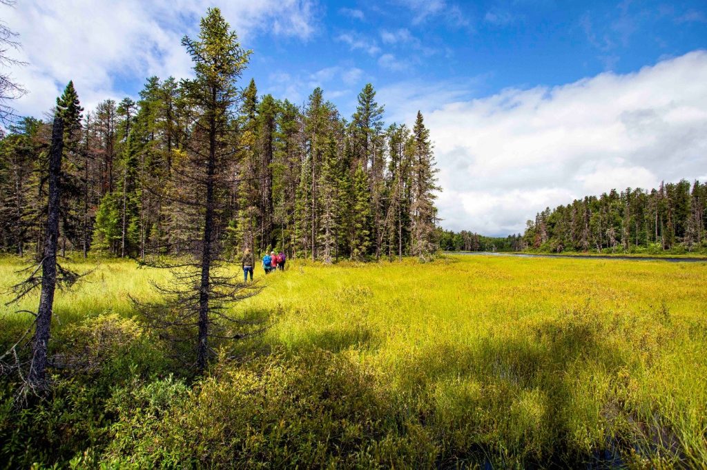
The park’s four trails wind through these hills and lakes letting you explore a glacial landscape created thousands of years ago.
Kettle Lakes Provincial Park
A landscape shaped by icebergs, Kettle Lakes Provincial Park has some of that ice-shaped landscape right in its name. “Kettle” lakes are formed when big chunks of glacial ice are buried under sand and gravel, melt slowly and form deep depressions in the ground that fill with water.
The park contains a collection of 20 kettle lakes. (Why so many together? Ancient glacial ice chunks!)
The lakes now keep visitors to the park quite busy, paddling canoes, kayaks, and paddleboards, or swimming and sitting on sandy beaches, fishing for trout, and especially getting out on park trails!
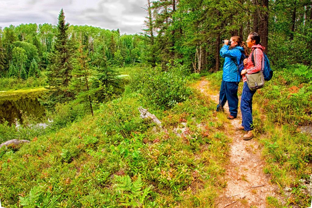
Four hiking trails provide visitors with opportunities to explore. Many of the park’s kettle lakes and wetlands can only be seen from these trails, so it’s a great way to see more of the park.
You’ll be rewarded with opportunities to see cool glacial features, including a hike along a group of sandy hills called an esker on the 3-kilometre long Oh-Say-Yah-Wah-Kaw Trail, whose name means “sandy ridge” in the Cree language.
As a bonus, the park contains 14 km of biking trails that wind through the Boreal Forest.
René Brunelle Provincial Park
René Brunelle Provincial Park and surrounding Boreal Forest are in the middle of what used to be a huge lake, over 180,000 square kilometres in area, that was filled with the meltwater of the vast glacial icesheet that still covered much of eastern Canada 6,000 years ago.
The lake left behind clay soils that are quite fertile and are known as the Great Clay Belt. Farms are scattered across it, nestled into the Boreal Forest.
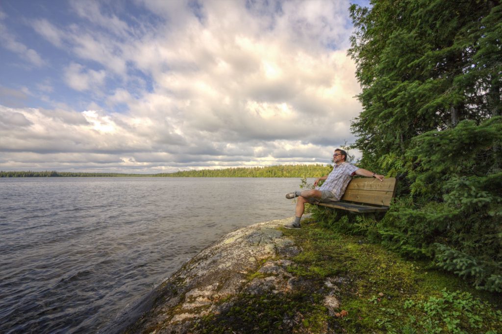
The easiest way to experience the Boreal Forest at the park is La Vigilance Trail. It’s less than 1 km, scenic with views of the lake, and also tells a cool story about early bush plane pilots.
While immersing you in the stunning Boreal Forest, the trail also tells the story of the bush plane pilots that called Airplane Island home base. The island is visible from several viewpoints on the trail, and was a base for floatplanes whose mission was to spot forest fires in the 1920s, the early days of bush plane aviation.
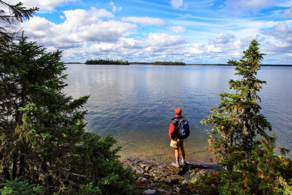
The Spruce Lowland Trail (1.6 km) offers a great opportunity to explore the park’s forest, passing through stands made up of Black Spruce, Balsam Fir, Trembling Aspen or Poplar and White Birch.
These are common trees of the Boreal Forest, but the trail also passes through a stand of Black Ash growing in moist and poorly drained soil, which is found at the northern tip of its range and is uncommon here.
Fushimi Lake Provincial Park
Fushimi Lake Provincial Park offers two different boreal forest hiking trails.
Achilles Lake Trail is a perfect choice for those looking for a short hike, with just a one kilometre round trip.
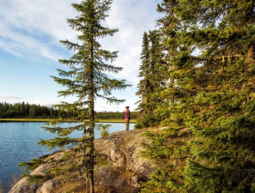
The trail leads to a classic Canadian Shield bedrock outcrop that overlooks Achilles Lake. This lake is not accessible to motorboats, which makes it a perfect spot to view wildlife, take in the stillness of a lake surrounded by Boreal Forest, and admire stunning sunsets.
The Fire Tower Trail is a recommended for visitors who like a good hike, as there are a few challenging spots on the 7 km round trip. This hike highlights some of the history of Fushimi Lake, bringing you to the old fire tower that was built in the 1930s for forest fire detection.
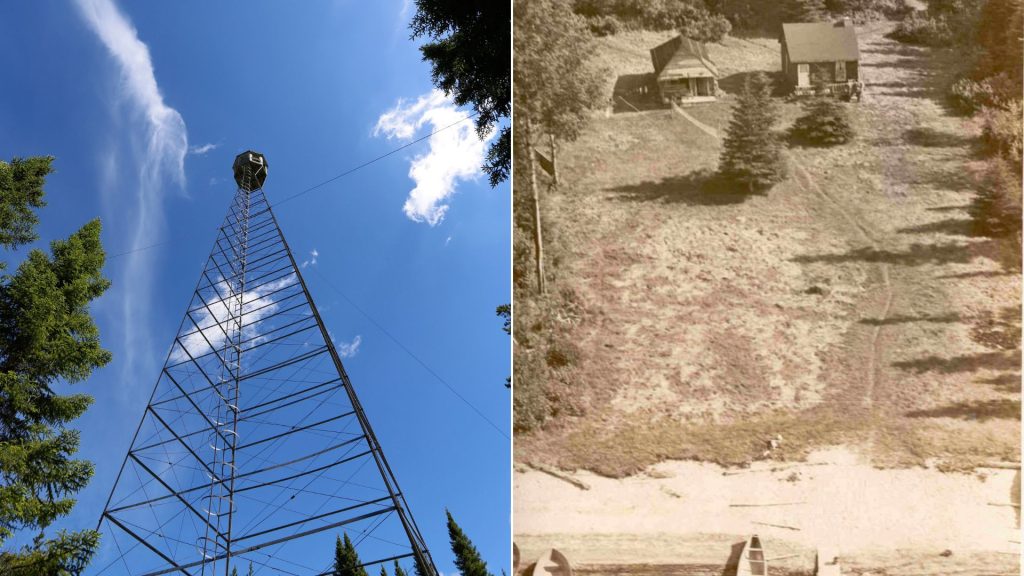
Along the hike, you’ll pass the site of the fire ranger old cabin where a “towerman” and his family would live.
From the site of the cabin, you’ll walk the same path that the fire ranger walked every day to his job at the top of the fire tower.
Potholes Provincial Park
Potholes Provincial Park is a Nature Reserve-class provincial park, protecting a stunning boreal landscape centered on the Kinniwabi River.
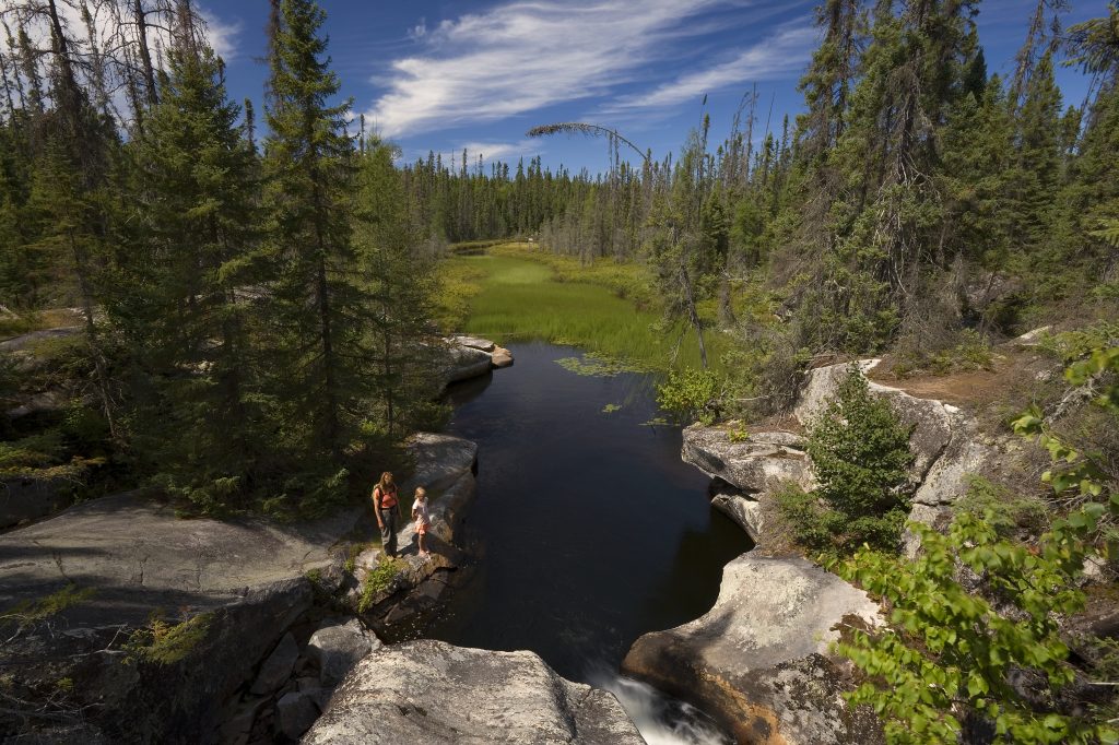
The river tumbles through smooth, sculpted bedrock that was scoured, shaped and formed into a series of giant “potholes” by ancient glacial meltwaters, thousands of years ago.
This little park is a perfect rest stop right on Highway 101 between Wawa and Chapleau, with picnic tables and privies, as well as a trailhead for the short trail that leads you through this boreal wonderland.
Wakami Lake Provincial Park
The Boreal Forest is known as Ontario’s “songbird nursery,” due to the high density of songbirds each spring and summer during nesting season.
The Boreal Forest habitat at Wakami Lake Provincial Park is teeming with winged wildlife that you may not see in Southern Ontario!
Birders, don’t forget to bring a pair of binoculars and your life list.
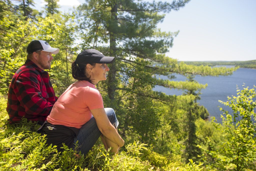
One of four trails in the park, The Beaver Meadow Trail (2.4 km) takes you into the boreal forest where hikers can discover how the industrious beaver has altered the landscape. A “beaver meadow” is the now-dry wetland that beavers created by damming a small stream.
It may have drained when the beavers moved on to be closer to better food sources, and the surrounding plants moved in to create a grassy meadow. If its not too wet, trees may eventually reestablish themselves.
A bonus trail is the “Woodsman’s Trail”, an easy walk through the Historic Logging Exhibit.
The trail through the exhibit takes you around a collection of historical logging equipment and log buildings that tell the stories of lumberjacks who once worked in the boreal forests of the Wakami Lake area.
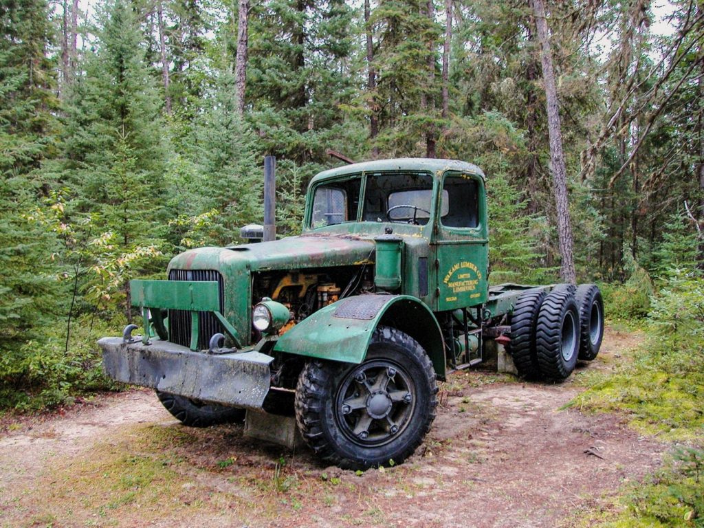
The exhibits interpret the period between the 1920s and 1940s, when lumberjacks cut trees with crosscut saws, and used horse-drawn logging sleighs in the winter, slowly transitioning to mechanized equipment and chainsaws.
Ivanhoe Lake Provincial Park
The Boreal Forest contains many habitats, and not all are forests. A variety of habitats creates more biodiversity, where more species of plants and animals can live. Wetlands are an important part of any ecosystem.
Four trails wind through the forest at Ivanhoe Lake Provincial Park, from under a kilometre to more than eight kilometres, providing plenty of opportunities for exploration. Here are two to consider:
The Quaking Bog Trail (0.8 km) is a short, but worthy trail for hikers that takes you along a path that was once at the bottom of Ivanhoe Lake.
Interpretive panels located along its path bring to light some of these features as well as a viewing platform overlooking a rare “quaking” bog. Long ago, a small pond existed here but was slowly covered by a floating bog mat made of sphagnum moss and other small plants.
Nutrients are hard to come by in this bog, so the plants that live here must make do with less.
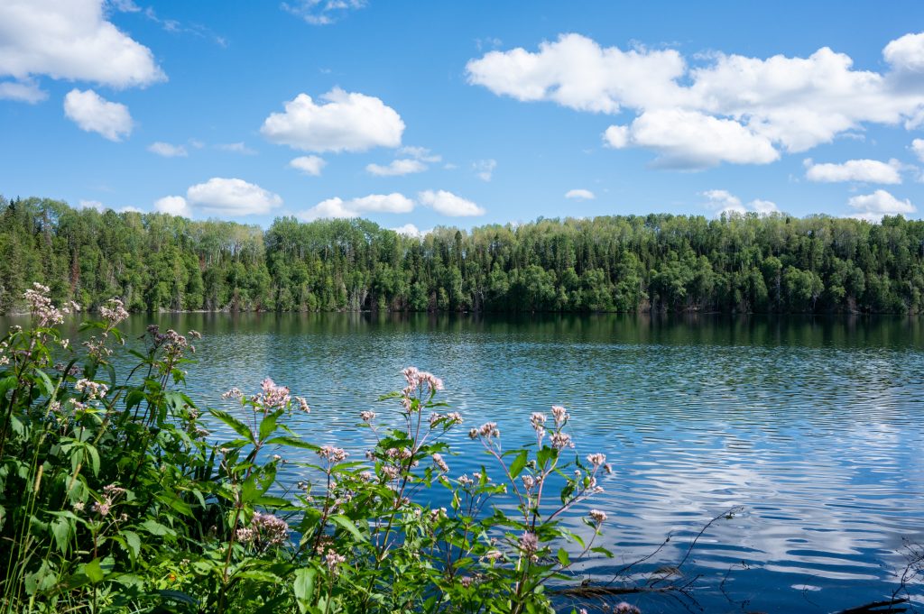
Saw Lake Trail (2.8 km) leads up and over beautiful esker ridges and continues along the shores of serene Saw Lake, a small lake once formed by glacial ice.
Be sure to bring your camera as the waters here gleam a greenish hue on a sunny summer’s day, or bring your fishing rod to catch some Brook Trout.
Halfway Lake Provincial Park
With a rugged landscape of bedrock hills and sparkling blue lakes, Halfway Lake Provincial Park sits at the southern edge of the Boreal Forest in Ontario.
The transition from a more southerly maple-dominated forest to the northern Boreal Forest’s spruce and poplar, birch and pine between the park and Fairbank Provincial Park an hour south is a sharp one: Fairbank turns red and orange in the fall because of its maples and oaks, while Halfway Lake is boreal gold and green.
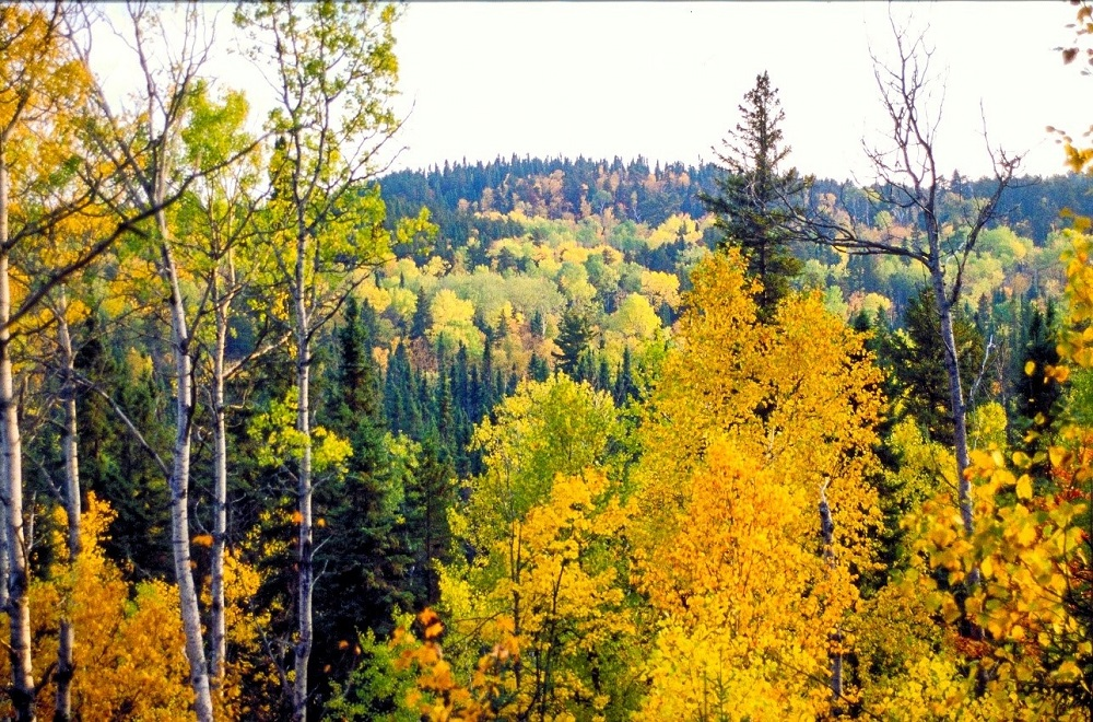
Four hiking trails range from the short Moose Ridge Trail (2 km), which looks out over the campground and Halfway Lake itself, to 15 kilometre Hawk Ridge Trail, an all-day hike with lots of hills and great lookouts.
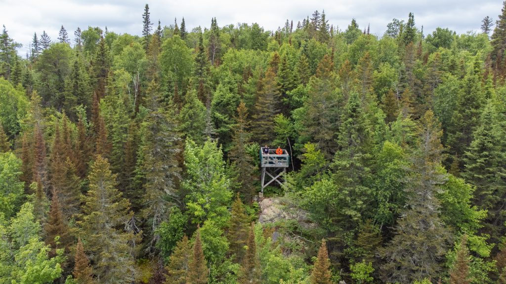
For people who like hiking, Halfway Lake’s trails provide lots of opportunity to explore!
Did somebody say road trip?
That was a lot of trails at a lot of parks!
Wondering how you can get the most boreal bounty out of your trip?
Our Boreal Driving Route (begins in Sudbury) is designed to help you discover Canada’s Boreal Forest.
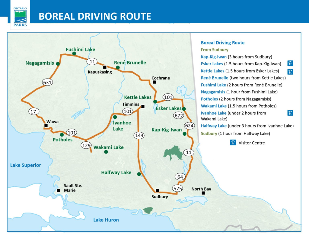
Each park featured here is on the Boreal Driving Route, meaning you can experience each and every trail on this list in 8 to 16 days!
Bonus: you can do a shorter, southern loop of the Boreal Driving Route if you don’t have time for the whole road trip!