Today’s blog comes from Layna Lubimiv, chief park naturalist at MacGregor Point Provincial Park.
Did you know MacGregor Point Provincial Park has a new community science initiative?
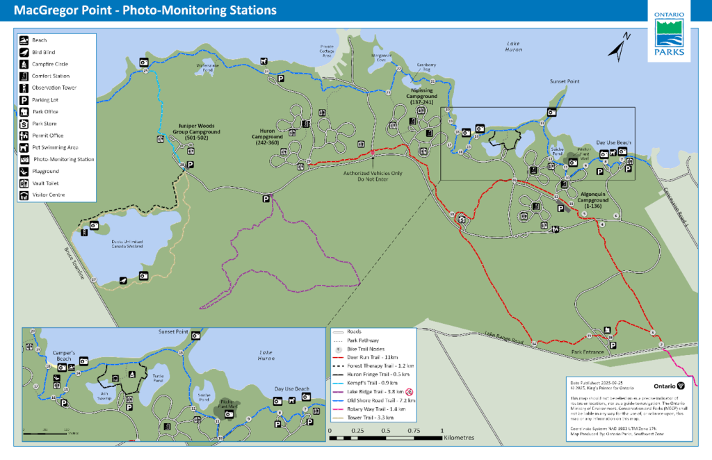
You can help track environmental changes though photo monitoring. Nine sites have been chosen around the park and stations have been set up so visitors can join in collecting data on the changing nature of the park’s environment.
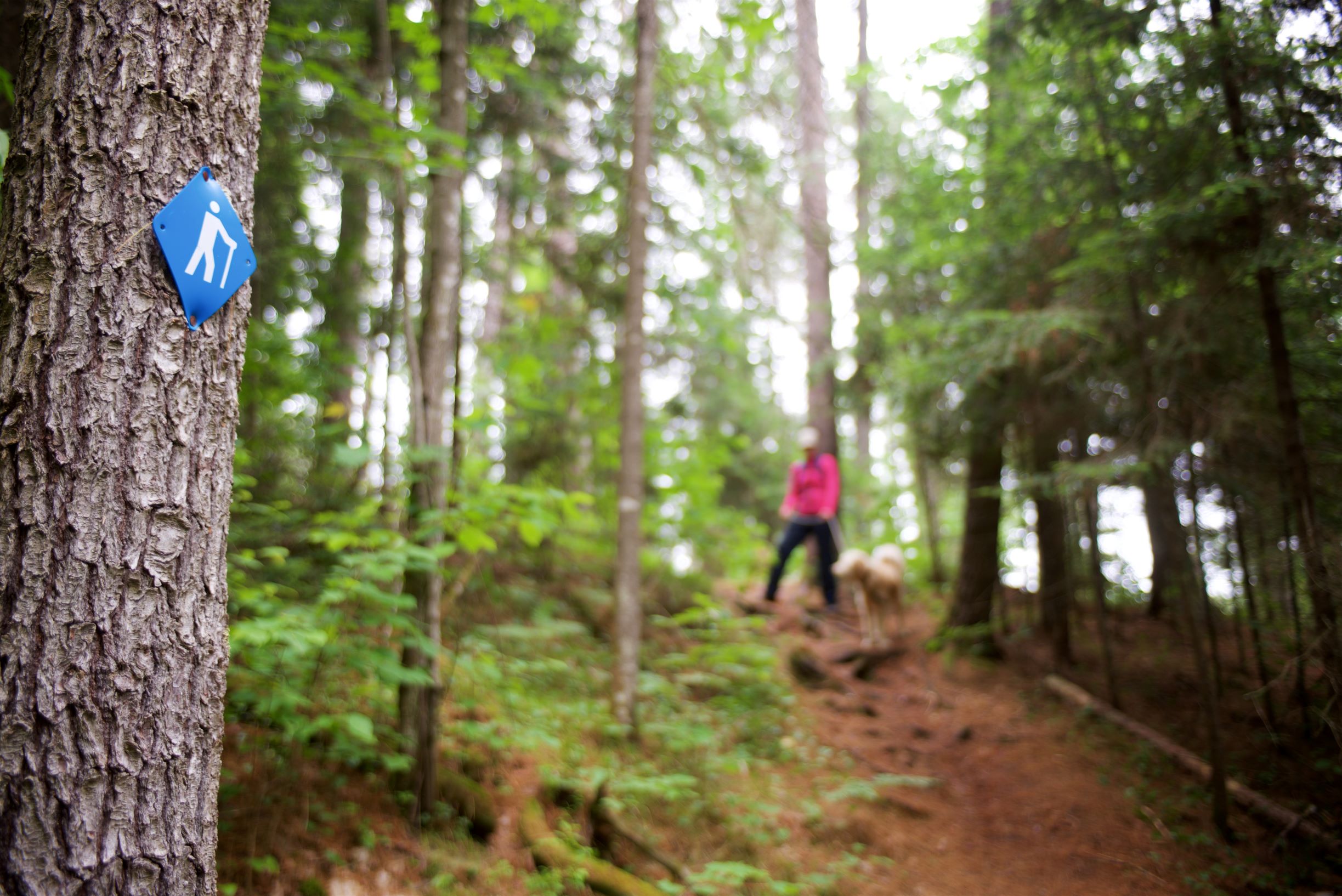
Photo monitoring is an easy way to conduct research!
Simply place your smartphone in the holder, snap a picture, and submit your photo to the QR code on the sign.
This technique is simple and effective, allowing staff to access multiple photographs of the same location over time to visually document changes in the environment.
Why does it matter?
For so many reasons!
Each of the chosen sites have a monitoring purpose for seasonal and annual changes in the park. Check out some of our stations to find out what we’re paying attention to at different locations!
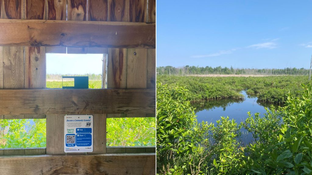
Have you been to the bird blind on the Tower Trail?
Show us what it looks like day-to-day with the changing water levels, vegetation, and migratory birds!
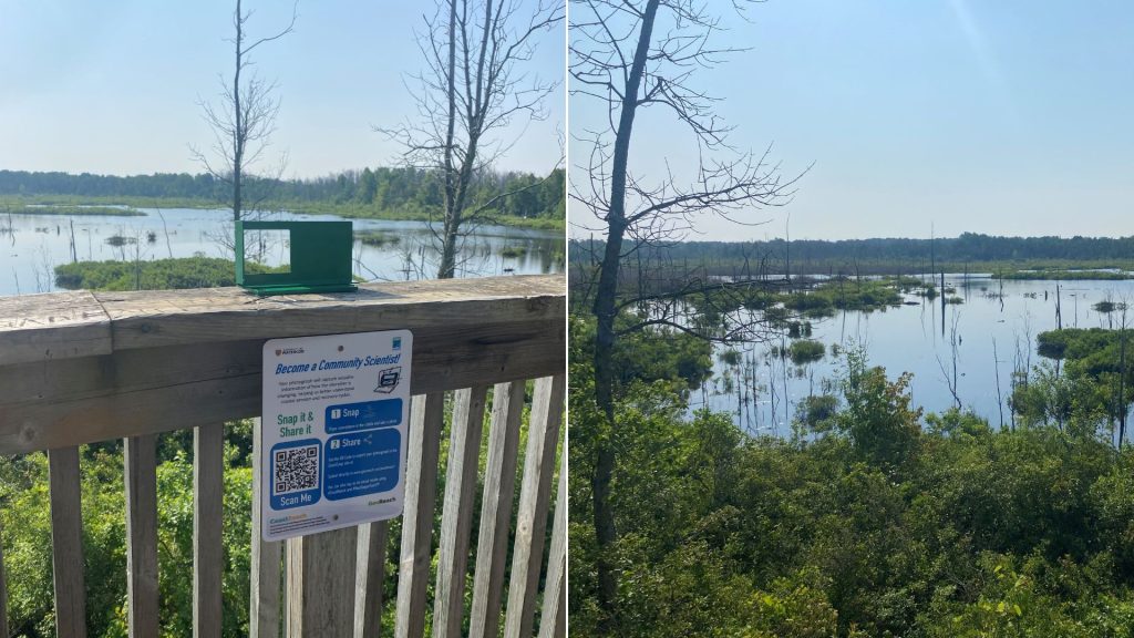
Ever climbed Tower Lookout?
Take a photo of what you see! It’s valuable to have different photo monitoring angles of wetlands to better understand changes from multiple angles. You can see the Bird Blind Trail across the Ducks Unlimited Wetland!
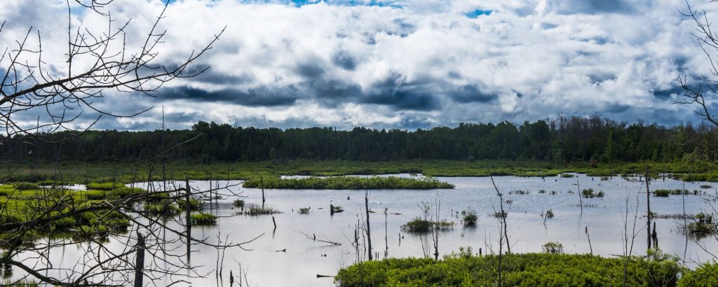
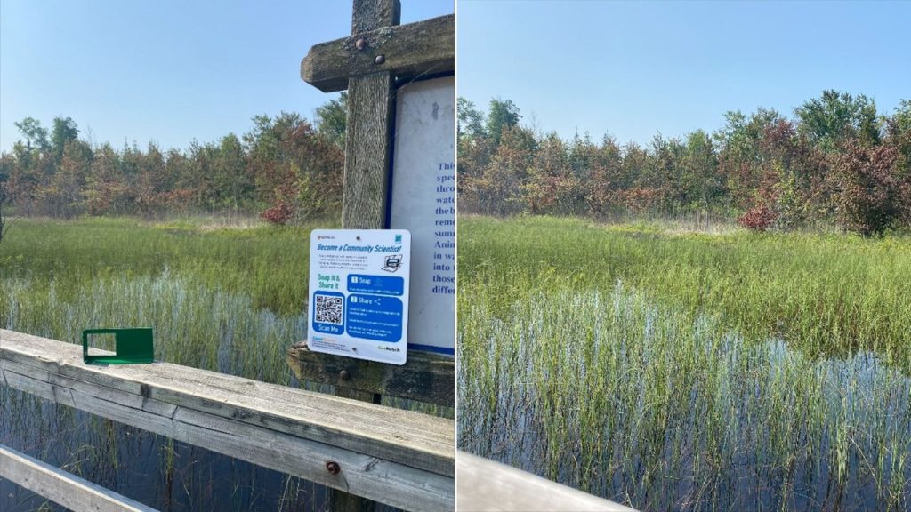
Ash Swamp is usually a seasonally wet swamp, which typically dries up by September — but in 2023, it remained a wetland throughout the year!
We also tackled invasive Phragmites and are tracking our success through photo monitoring.
Help track the changes with us!
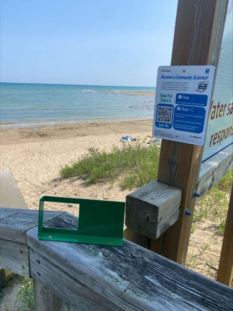
Track our shoreline with us through the two stations at Camper’s Beach, and one station at Boundary Bay (end of Kempf’s Trail).
There’s so much to learn from Lake Huron.
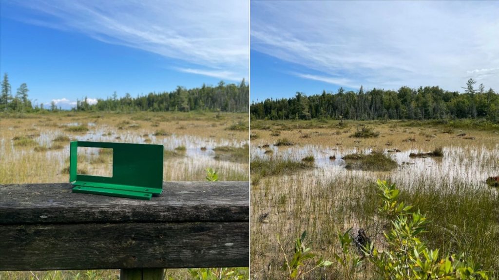
The Pitcher Plant Marl is one of the coolest spots in the park and it’s filled with highly sensitive and specialized species.
Help us track environmental changes through the seasons as we watch the seasons evolve at this iconic location.
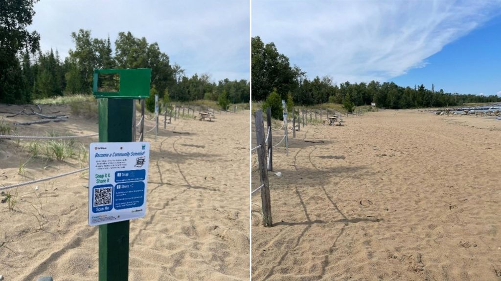
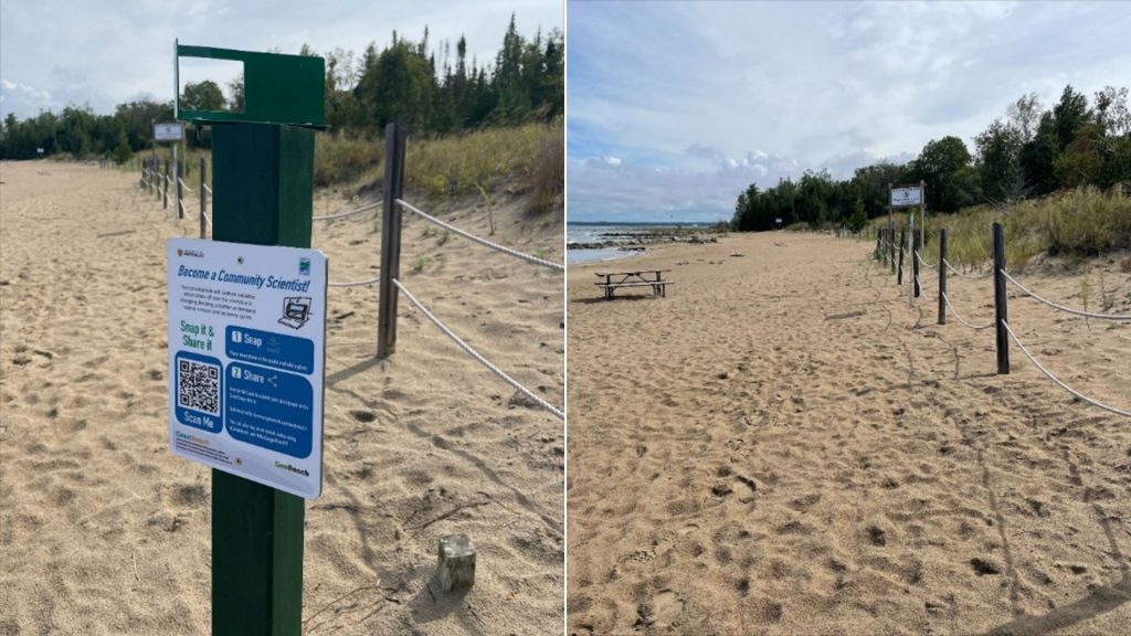
Check out the highly sensitive dunes at Day Use Beach — they anchor the sandy beaches we all enjoy.
Every fall, the Friends of MacGregor transplant dune grass in the Day Use Beach to protect this vital ecological service and habitat.
These two angles help us track the success of dune grass after transplanting! Watch our dunes (hopefully) thrive through your community science photos and your footsteps on designated pathways!
Can you make it to all nine locations?
Help us year-round so that we can make time lapse videos with your photo monitoring station photos! Stay tuned for even more locations soon!
Don’t just stop here!
There are photo monitoring stations nearby, including Inverhuron Provincial Park and Sauble Falls Provincial Park!
Continue your adventure with your seasonal permit!