In today’s blog, Helen McConnell, a marketing and communications specialist at Algonquin Provincial Park, explains what “SNOW” is and how SNOW data is used to protect our parks and the species that live here.
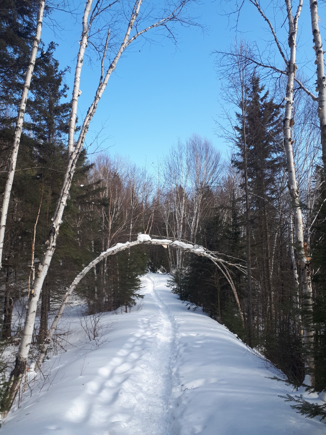
On a chilly Monday in March, I found myself snowshoeing with our park biologist, loudly crunching through the snow as we followed a “snow course” through through the hardwood forest.
A crash course with the Snow Network
A snow course is a research site. This one, in Algonquin Provincial Park, was set up for the Snow Network for Ontario Wildlife (yes, their acronym really is “SNOW”).
Algonquin is one of eight provincial parks that contribute to this research project with almost 60 active snow courses spread throughout the park!
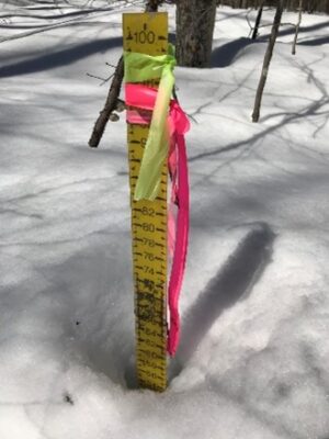
On the day I joined the SNOW work, we were headed to each station along a particular snow course to record the data at each spot.
Each of SNOW’s courses has 10 stations, placed 20 m apart, and marked with flagging tape identifying a stake with a bright yellow ruler.
The ruler must be at least a metre tall.
That’s because these rulers are used to measure the snow depth of that site and in these parts of the province, the snow can get pretty high!
Why does SNOW measure the snow?
The measurements gathered by SNOW are used to calculate a “Snow Depth Index” (SDI), including the cumulative snow depth over an entire season.
These measures are key indicators of winter severity. For example, an SDI above 590 cm signifies a “moderately severe” winter, while SDI above 760 cm represents a “severe winter.”
SNOW records measurements along the snow course once a week, starting with the first snow fall in the autumn (or the first Monday in November) and continuing until all of the snow has melted.
In addition to documenting weather conditions, the researchers record snow crust conditions — no crust, slight crust, or crust strong enough to support a person on snowshoes.
A provincial tradition of winter science
The work of monitoring Ontario winters through a snow network has been ongoing in the province since 1952.
Today, SNOW’s work is maintained by the Wildlife Research and Monitoring Section of the Ministry of Natural Resources and Forestry. The data collected helps monitor the impact winter conditions have on deer and other wildlife populations in the province.
The most southern snow course location is in Grey County, while the most northern is in Moosonee.
The team from the Wildlife Research and Monitoring Section creates maps based on the collected information:
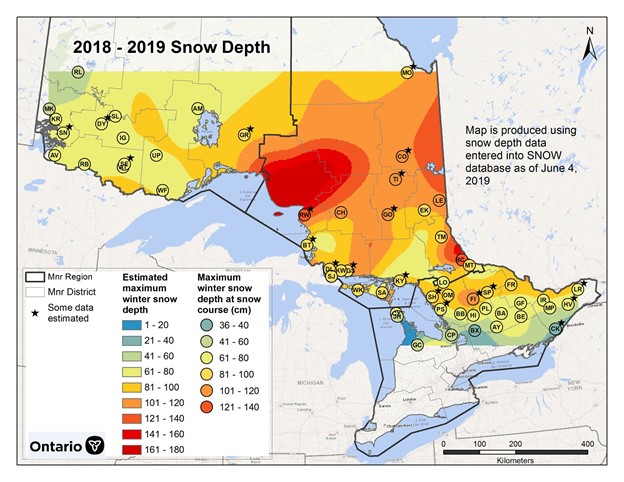
Since 2000, the snow course that records the highest annual snow depth is the “Red Rock” course near Wawa in Lake Superior Provincial Park, with maximum depths that regularly exceed 120 cm.
But the highest snow depth ever recorded was 204 cm in 1990 at Red Lake!
Our research supports our wildlife
Data from the snow network project helps us predict how severe a winter will be. It also helps us make good decisions about how to manage the health of our parks and the species that call them home.
It has been used in projects and reports such as:
- assessing whether snowfall amounts are sufficient to perform moose aerial inventories — fresh snowfall is best to see recent tracks of moose and track down individual animals
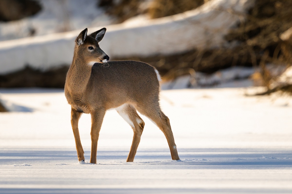
- understanding variability in wolf mobility throughout the winter and cascading effects on deer populations
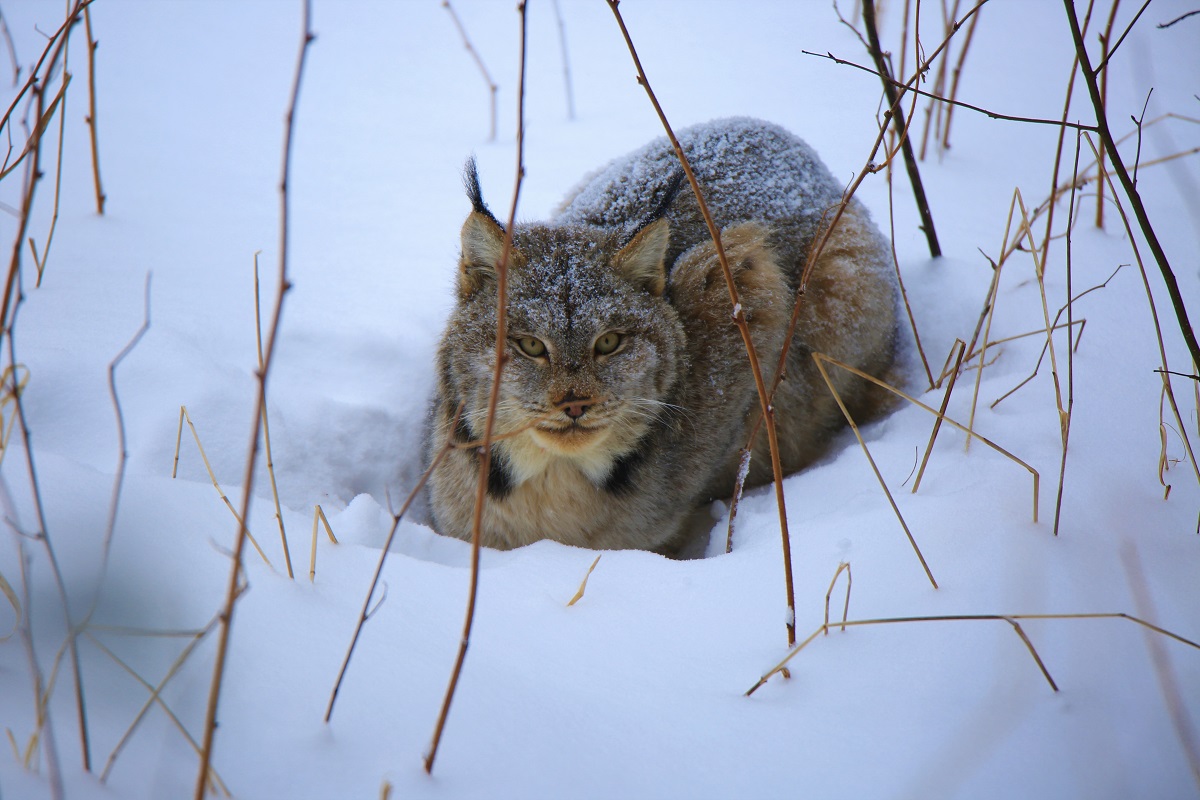
- modeling habitat suitability or heterogeneity for lynx, American Marten, and fishers in Ontario to understand distribution patterns and genetic diversity
- determining the northern range limit of White-tailed Deer in Ontario
- assessing habitat suitability for reintroduction of wild turkeys in Ontario
Not a bad list of achievements for a research project as humble and unassuming as the snow network!
