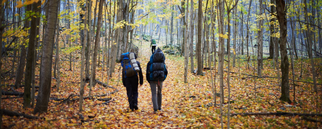
For many hikers, fall is peak season for the big challenges. Bugs have fled, temperatures are lower and the autumn leaves are on full display.
If you’re after an exciting new trail this fall, we’ve got three bucket list trips to recommend.
Ready to test your mettle?
~
La Cloche Silhouette Trail, Killarney Provincial Park
- Difficulty: Strenuous
- Length: 80 km loop
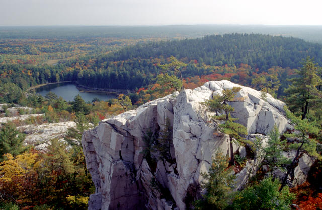
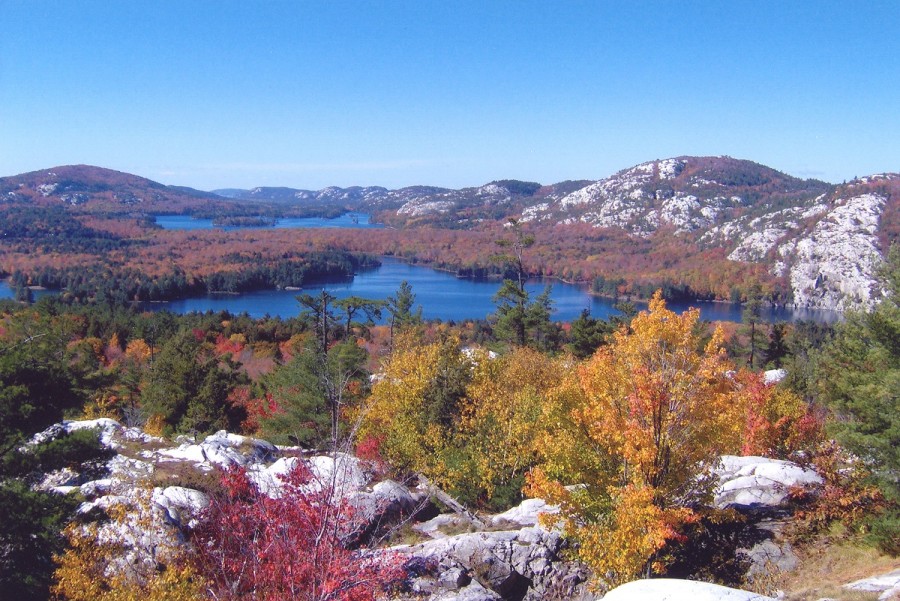
It’s tough all right, but the mountain-top vistas are worth the effort. The looped La Cloche Silhouette Trail takes up to ten days to complete and campsites must be booked ahead.
Members of Canada’s famous Group of Seven loved to paint here. In fact, La Cloche Silhouette Trail is named after a 1930s painting that Franklin Carmichael sketched from a trail vantage point. He, A.Y. Jackson and A.J. Casson also helped to convince the Ontario government to turn this landscape into a park.
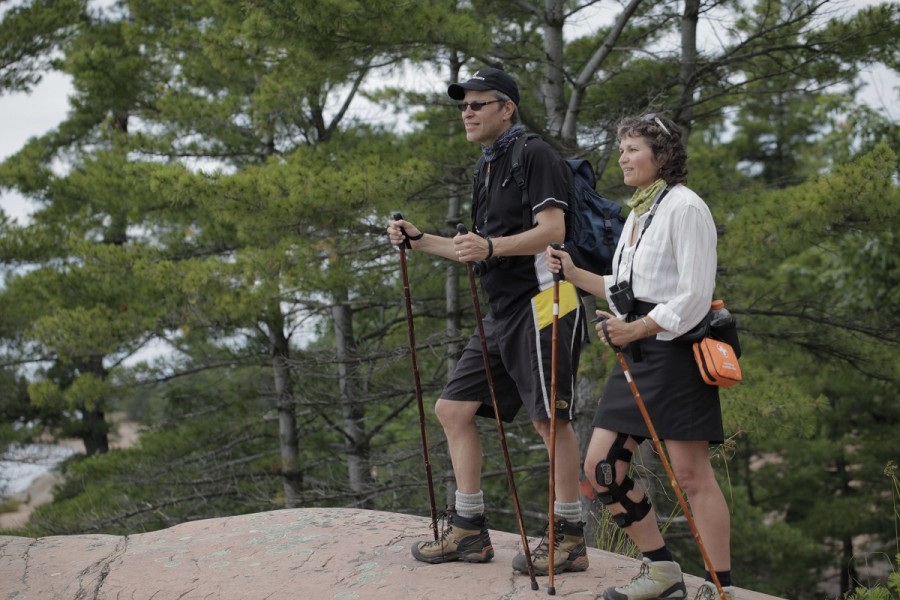
Besides rugged terrain, expect creek crossings and difficult climbs. On the latter, just ask anyone who’s made it up Moose Pass. It’s grueling. If you don’t have ten days to spend on the trail, try hiking a section of it or choose a Killarney day hike.
The Friends of Killarney Park Store carries several guides and maps of the park including the La Cloche Silhouette Trail Guide and waterproof copies of the official Killarney Provincial Park map.
~
Coastal Trail, Lake Superior Provincial Park
- Difficulty: Strenuous
- Length: 65 km
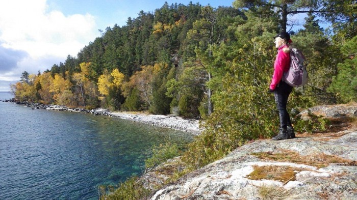
Anyone who’s hiked the Coastal Trail will tell you it lives up to its “strenuous” rating. This spectacular route along the world’s largest freshwater lake is diverse and appeals to hikers on many levels. If you like wild places, rugged hikes, varied terrain, dark night skies, an endless horizon, few insects and spectacular rocks, this is the trail for you.
The 65 km trail is linear, so if you want to hike it from end to end, you need to arrange a shuttle with one of the local outfitters or retrace your route. The latter’s not a bad option given the view is different going the opposite way.
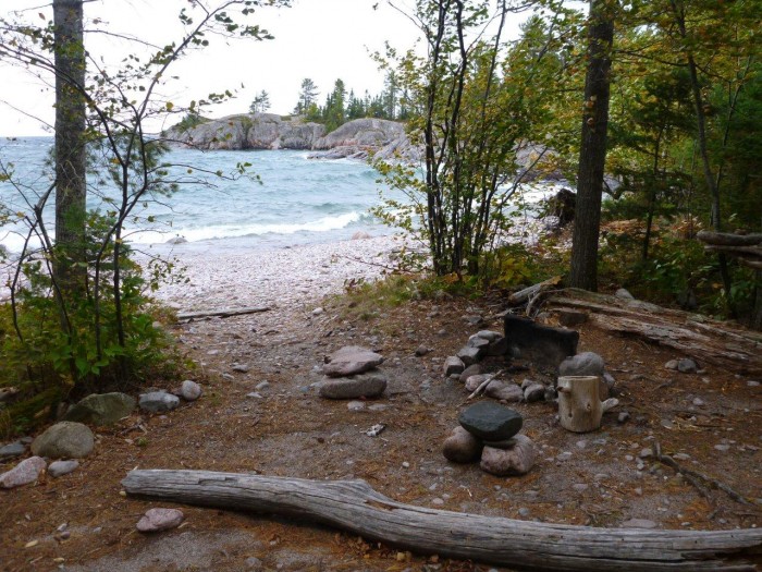
Hikers love its campsites, especially on the sandy beaches at Warp Bay, Gargantua Harbour, Beatty Cove and Barrett River. Cobble beaches and rocky outcrops have beautiful sites too. Some are more rugged than others, but all have a tent area, fire ring and backcountry privy.
In shallow bays along the trail, the lake’s turquoise colour reminds some of the Caribbean. Don’t be fooled by good looks: Lake Superior water is cold!
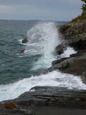
Weather plays a huge role on any of these long-distance hiking trails, but especially on Lake Superior. The Coastal Trail can be windy and waves can get high at any time of year, but in fall, especially in tough weather, you need to pay heed to weather forecasts.
One of the best things about hiking the Coastal Trail? The stargazing. On clear nights, it’s second to none.
~
Kabeyun Trail, Sleeping Giant Provincial Park
- Difficulty: Strenuous
- Length: 40 km
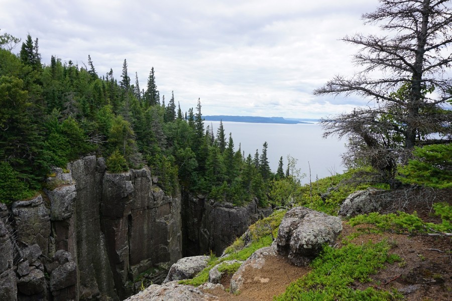
Sleeping Giant’s Kabeyun Trail is ideal for overnight backpacking as well as shorter day hikes. This scenic coastal trail is part of a park trail network totaling over 100 km. Kabeyun follows the Lake Superior shoreline starting at Thunder Bay Lookout. It then rounds the tip of the peninsula (the Sleeping Giant’s feet) eventually ending at the trailhead near Highway 587.
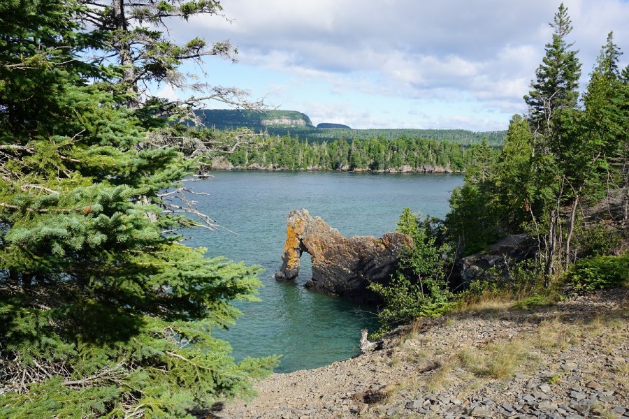
Some say the 8 km of Kabeyun Trail between Clavet Bay and Hoorigan Bay are the most difficult. This section is less traveled than others, but those who hike it say the views are incredible.

Many day-hikers head to Tee Harbour. There is a nice picnic area here and a beautiful sandy beach. Lehtinen’s Bay is further on, and perfect for skipping stones. This is also where you pick up the 6 km Talus Lake Trail. It connects you to the Top of the Giant Trail, a 2.7 km climb that zigzags up. Once on top, there are two more lookouts you can hike to, one on the east side of the peninsula and one on the west side.
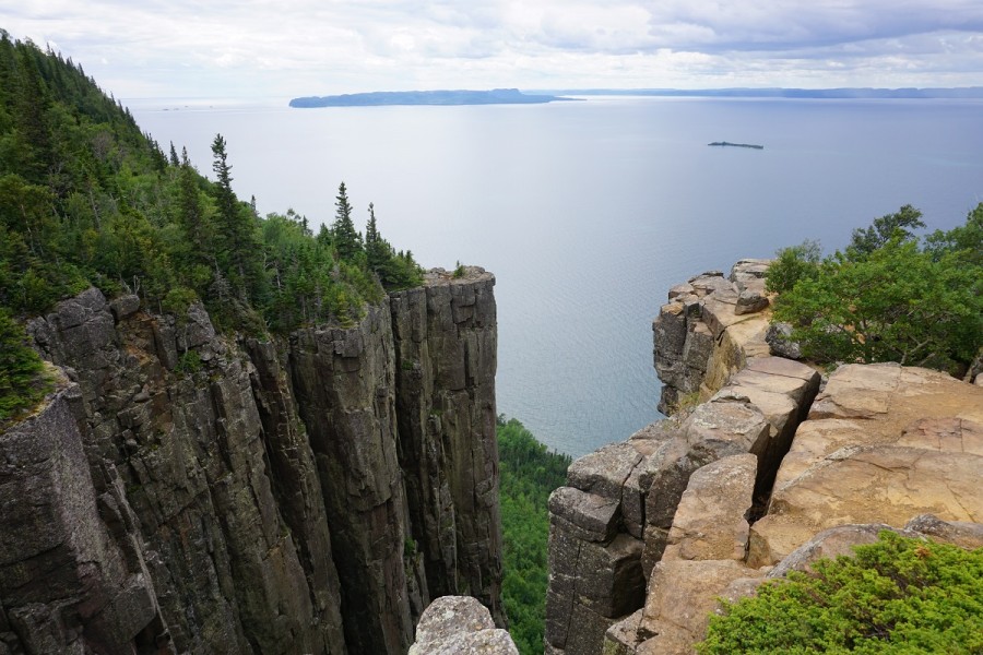
Hikers often bring their mountain bikes to Sleeping Giant to shorten their trek. Cycling is permitted on a number of trails and on Thunder Bay Lookout Road which is a challenging 9 km ride from Highway 587 to the lookout.
The Westwind Store located in the Sleeping Giant Visitor Centre is worth a stop too. It has detailed maps of the park’s trail system as well as snacks and camping supplies.
~
Tips for challenging hikes
Remember hiking warriors: when tackling a long-distance trail, keep safety top-of-mind. Bring a map and compass and make sure you’re properly equipped.
Smart hikers:
- Plan ahead and share their itinerary with a family member or friend
- Always carry a map, compass and flashlight
- Get all necessary park permits before heading out
- Bring enough water, ensure they’ve eaten well and pack snacks
- Bank on getting their feet wet crossing creek beds (and consider bringing water shoes)
- Get an early start. Trail sections often take longer than planned
- Wait a day or two for trails to dry out after a heavy rainfall
- Wear proper footwear (and consider merino wool socks to keep feet dry)
- Consider hiking poles for steep climbs
- Bring rain gear, even if the weather forecast is good
~
Looking for more hiking ideas?
Check out our website for more routes and advice.
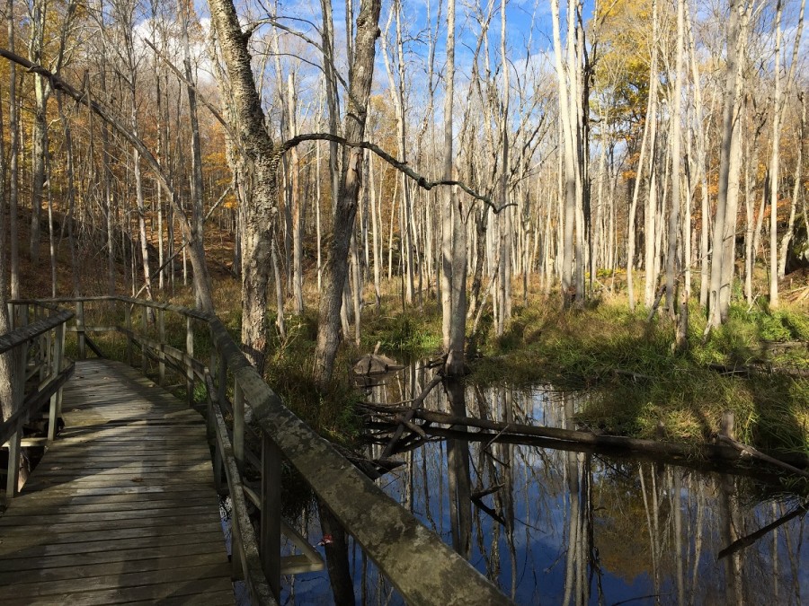
You might also enjoy the annual hiking challenge at Frontenac Provincial Park. Enjoy Frontenac’s fall colours by hiking each of the 11 main hiking loops that form the challenge between September 1 and October 31.


