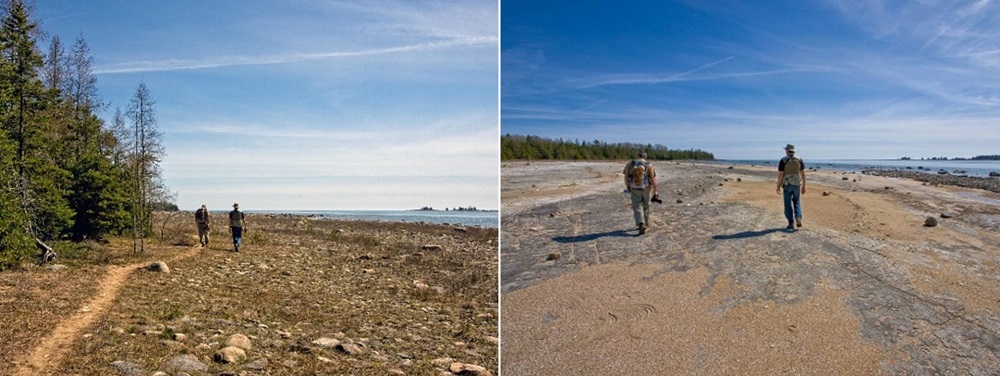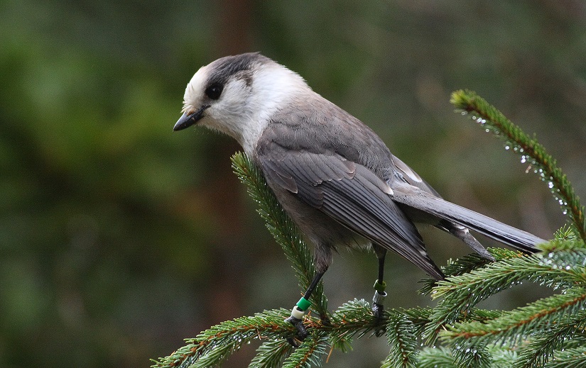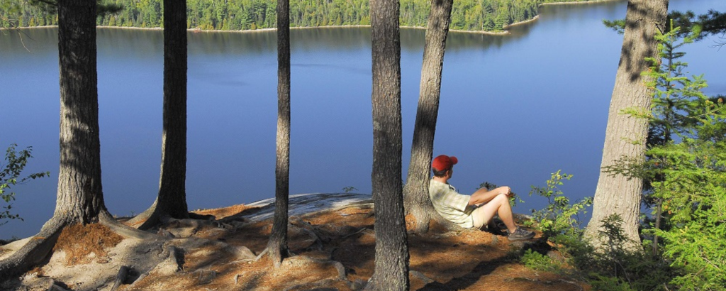
Northeastern Ontario is a vast and varied landscape of thousands of lakes, rivers and wetlands, surrounded by the rugged hills of the ancient Canadian Shield, and blanketed in deep green northern forests.
Such variety of landscapes and habitats makes it a great place for a hike!
Here are some of our favourite hiking parks and their trails:
~
Mississagi Provincial Park
Welcome to one of Ontario’s best-kept secrets. The scenery is spectacular, thanks to the geology of the area, which forms a series of hills, ridges and cliffs, and valleys with sparkling blue lakes.
Located above Lake Huron and just east of Sault Ste Marie, this rugged landscape of hills, ridges, cliffs and sparkling lakes is ideal for hiking. There’s over 40 km of trails to explore!
Most of the trails in the system are connected and can be hiked as individual day hikes or hiked together for a backcountry trip of several days.
Helenbar Lookout Trail
7 km (4 hours)
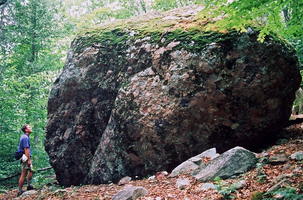
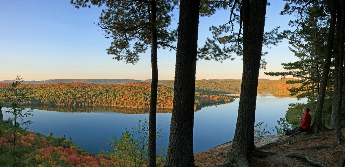
The Helenbar Lookout Trail leads up a gradually sloping ridge, passing a huge boulder called an erratic, dropped in place ten thousand years ago by melting glacial ice. An obvious photo op stop!
The trail continues on, and peaks (literally) at the breath-taking Helenbar Lookout.
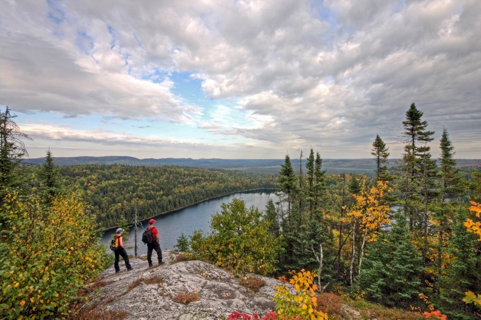
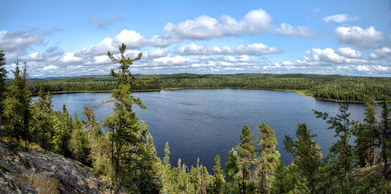
The lookout sits atop one of those north-facing ridges, with views across Helenbar Lake far below and the Boland River Valley in the distance.
McKenzie Trail
22 km (2 days)
The McKenzie Trail is the longest and outermost loop of the trail network.
The trail has a few backcountry campsites for hikers who wish to camp along the trail.
With many spectacular views and varied landscapes, this is an outstanding trail to hike.
~
Pancake Bay Provincial Park
Edmund Fitzgerald Lookout
7 km return (2-3 hours)
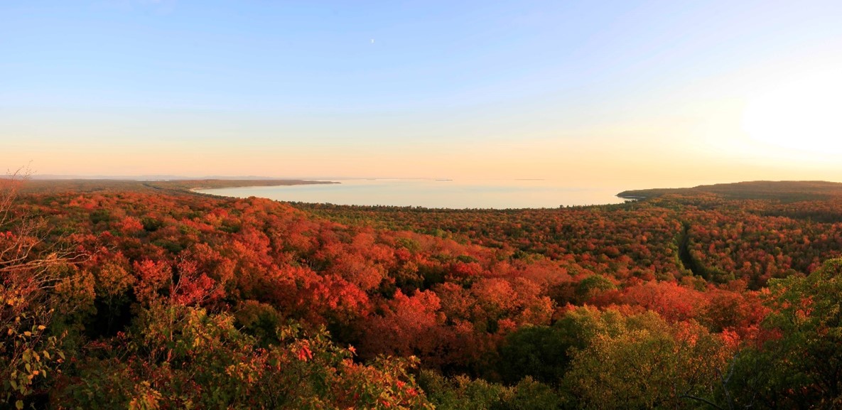
High on a rocky hill above Pancake Bay, the Edmund Fitzgerald Trail takes you to an awe-inspiring lookout.
The trail and the lookout are named for the Edmund Fitzgerald, one of the largest Great Lakes freighters ever at over 700 ft. Nicknamed “Big Fitz,” it sank in a terrible November storm while carrying a load of iron ore from the west end of Lake Superior, south to Lake Erie.
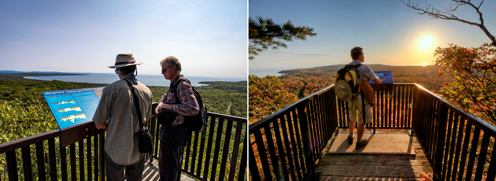
Climb the stairs to the two lookout platforms and learn about volcanoes, ferns, and how Lake Superior moderates the climate for the park’s forest.
Once you’re on top at the first lookout, you’ll see how big Superior really is – Whitefish Point in Michigan is visible in the distance, but beyond that is a huge expanse of blue water.
Lake Superior is over 300 km from east to west!
~
Halfway Lake Provincial Park
Halfway Lake, just an hour north of Sudbury, is a paradise for hikers.
Its rugged Canadian Shield landscape of boreal forest-cloaked hills and sparkling blue lakes makes a great setting for its four hiking trails.
Hawk Ridge Trail
15 km (6-8 hours)
Hawk Ridge is the longest trail in the park. It provides keen hikers with a challenging day hike or overnight backcountry hike.
Hawk Ridge’s backcountry campsites give a taste of remoteness with only a day’s hike out or less!
Two shorter trails form loops within the Hawk Ridge network: Moose Ridge is a short trail with a lookout over the campground and Halfway Lake itself, Echo Pond is a long trail that crosses bedrock, passes through Jack Pine forest, and loops around scenic little lakes.
Osprey Heights Trail
6 km (2 hours)
Osprey Heights is also a challenging trail, following an upland ridge out to a spectacular lookout high above Antrim Lake.
At 6 km, it’s a great option for a half day hike!
~
Killbear Provincial Park
Twin Points Trail
1.6 km (40 minutes)
Twin Points Trail showcases the majesty of Georgian Bay. That’s why it was identified as one of the Georgian Bay Biosphere Mnidoo Gamii’s Amazing Places.
From the parking lot, the trail leads through a forest of Red Maple, White Pine, Red Oak, and Yellow and White Birch. Leaving the forest, the trail opens onto rock barrens. The trail proceeds to a hidden beach between rocky points overlooking Killbear Peninsula.
As you approach Georgian Bay you feel the wind and hear the waves.
This magical spot has captivated many visitors over the years and brought them back over and over.
~
Killarney Provincial Park
The Crack Trail
6 km (4 hours)
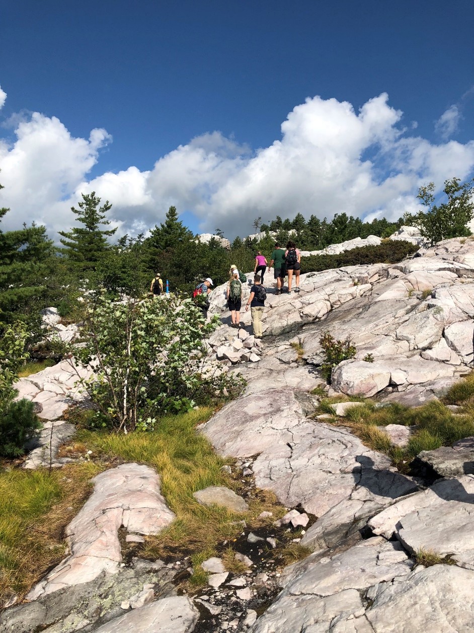
You’ve seen the Instagram snaps and magazine covers.
You dream of the view from white quartzite mountain ridges, of gazing across the landscape that inspired the Group of Seven.
The Crack is an extremely challenging hike in the La Cloche Mountain range at Killarney, a wilderness class park.
Proper preparation is paramount to getting up and down safely. Otherwise, hikers face a very real danger of getting lost, dehydrated, and/or seriously injured.
Killarney is also very popular, and The Crack may be the park’s most popular hike.
To park at the trailhead you must have a permit, and to guarantee your day use spot, you can obtain a daily vehicle permit online up to five days in advance of your trip beginning at 7:00 am. Visit our reservation service to obtain your daily vehicle permit.
If you’re planning to hike The Crack, please fully review this post as part of your planning process for hiking this iconic trail.
Lake of The Woods Trail
3.5 km (3 hours)
This is one of Killarney’s lesser-known trails and a great alternative when popular hikes are full.
This loop trail encircles Lake of the Woods, traveling through a variety of forest types, from old growth stands to elevated rocky outcrops.
These outcrops offer excellent views of Silver Peak and Lake of the Woods. At one point, the trail descends to the lakeshore where a short boardwalk connects to the lake’s only island.
~
Grundy Lake Provincial Park
Gut Lake Trail
2.5 km (1.5 hours)
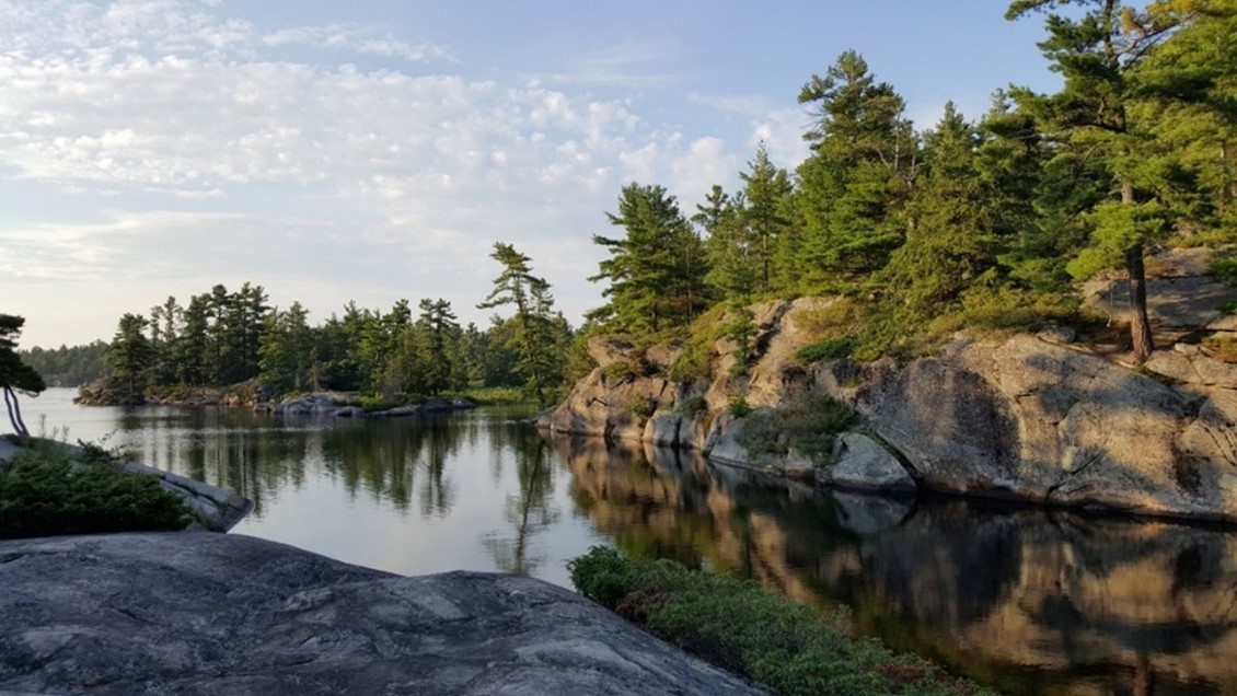
The shoreline of Gut Lake has spectacular scenery that showcases the Precambrian rocks that are the bedrock (literally) of Grundy Lake.
These rocks were formed over one billion years ago deep beneath the Earth’s crust, shaped by wind, water, and eventually glacial ice that sculpted and smoothed out the landscape over 14,000 years ago!
It’s amazing to think that glacial ice helped to create the diversity of habitats that make Grundy Lake such a great place for a variety of plants and animals to live in!
The best way to explore this rocky shoreline is by hiking the Gut Lake Trail. Along the way you can observe the rock sculptures and chatter-marks formed by glacial ice and meltwater.
~
Fushimi Lake Provincial Park
Achilles Lake Trail
1 km (45 minutes)
This trail is a perfect choice for those looking for a short hike, with just a 1 km round trip.
The trail winds through a forest of spruce and Balsam Fir, with a lush understory of mosses, lichens, and iconic northern plants like the Bunchberry, with its white flowers in early summer and bright red berries later in July and August.
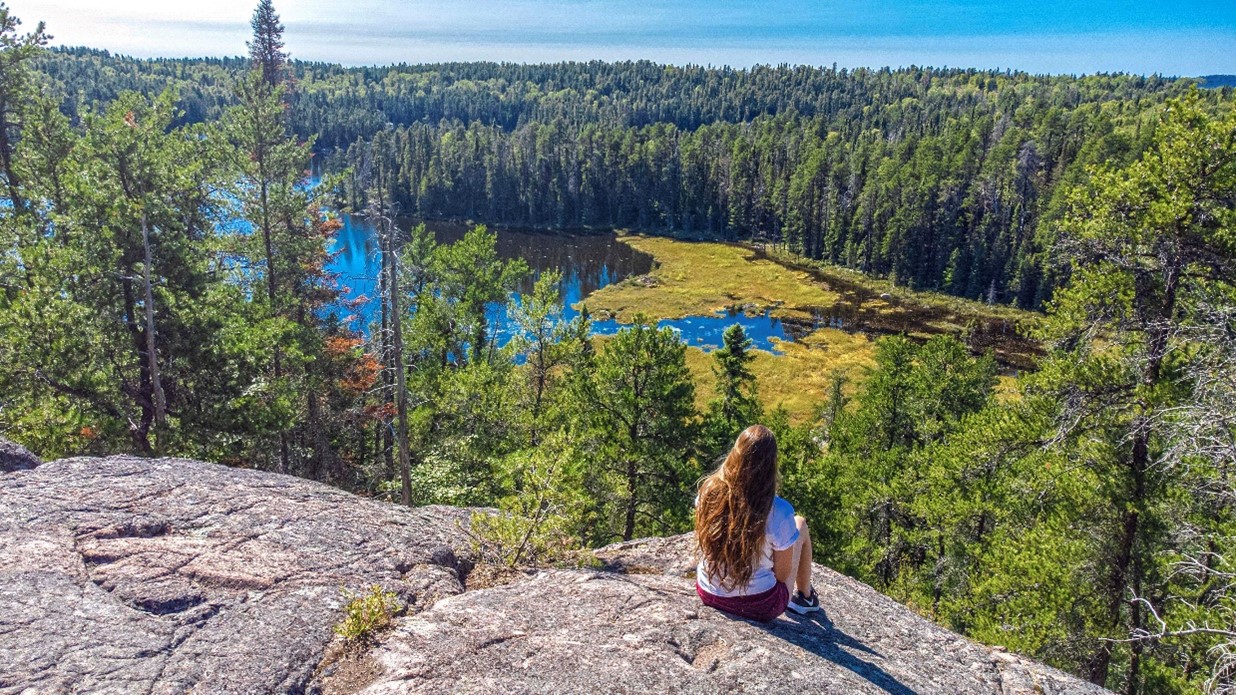
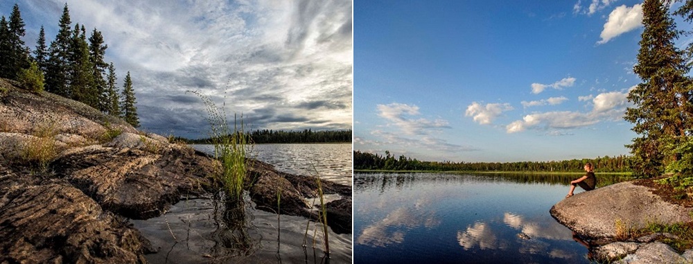
The trail leads to a classic Canadian Shield bedrock outcrop that overlooks Achilles Lake.
This lake is not accessible to motorboats, which makes it a perfect spot to view wildlife, take in the stillness of a lake surrounded by boreal forest, and admire stunning sunset.
~
Chutes Provincial Park
Twin Bridges Trail
6 km (2 hours)
The Aux Sables River flows south from the highlands of the Penokean Hills. These roots of an ancient mountain range once as high as the Rockies have now become rounded nubs.
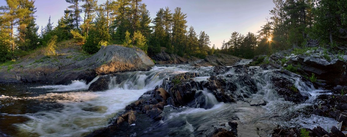
The river’s name, “Rivière Aux Sables,” refers to the river’s sandy shores. Besides the park’s beach, much of the river within the park’s boundaries tumbles over ledges, through channels and rocky rapids.
The Twin Bridges Trail follows the river, passing several viewpoints and lookouts, providing visitors places to stop, relax, and be surrounded by nature, soundtracked by the soothing sound of moving water.
~
Misery Bay Provincial Park
Coastal Alvar Trail
8 km loop (2.5 hours)
Located on Manitoulin Island, this park provides access to scenic Lake Huron coastline. Misery Bay offers over 15 km of interconnected hiking trails, a boardwalk, and a bird-viewing platform overlooking the wetland.
The Coastal Alvar Trail is a large looping trail that takes in the natural features on the eastern side of the park, including the shoreline of Lake Huron.
It travels from the visitor centre, past old glacial beaches and dolostone pavements as it makes its way to the present day shoreline.
From there, the trail travels almost 3.5 km along the Lake Huron alvar coastline until it intersects with the Mac’s Bay Trail. At that point, the Coastal Alvar Trail turns north along a glacial shoreline ridge as you make your way back to the visitor centre.
~
Esker Lakes Provincial Park
Lonesome Bog Trail
1.5 km (1 hour)
If you are looking for a new trail to explore this summer, the Lonesome Bog Trail at Esker Lakes might be just the ticket!
This 1.5 km interpretive trail sweeps around Sausage Lake and travels through a variety of habitats, introducing visitors to boreal forest ecosystems and ancient glacial landscapes.
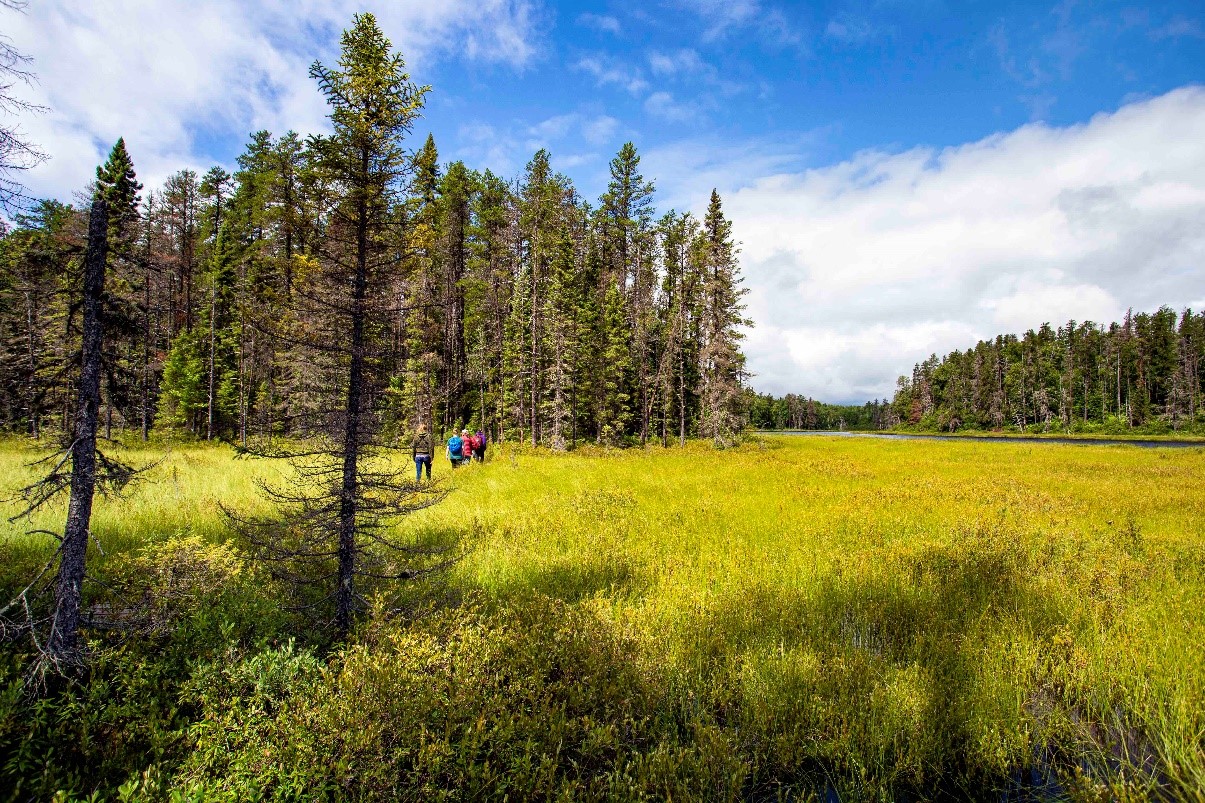
While it’s a short trail, it passes through a range of landscapes and habitats that make up much of the boreal forest that stretches across northern Ontario – Jack Pine forest, Black Spruce bog, open wetland, and lakeshore.
Migratory songbirds like warblers and flycatchers are abundant along this scenic trail.
~

