In today’s blog post, Senior Park Naturalist Cara Freitag shares her experience and itinerary hiking the Kabeyun Trail at Sleeping Giant Provincial Park.
It was a cold day in early autumn when a friend and I decided to backpack the 37 km Kabeyun Trail at Sleeping Giant.
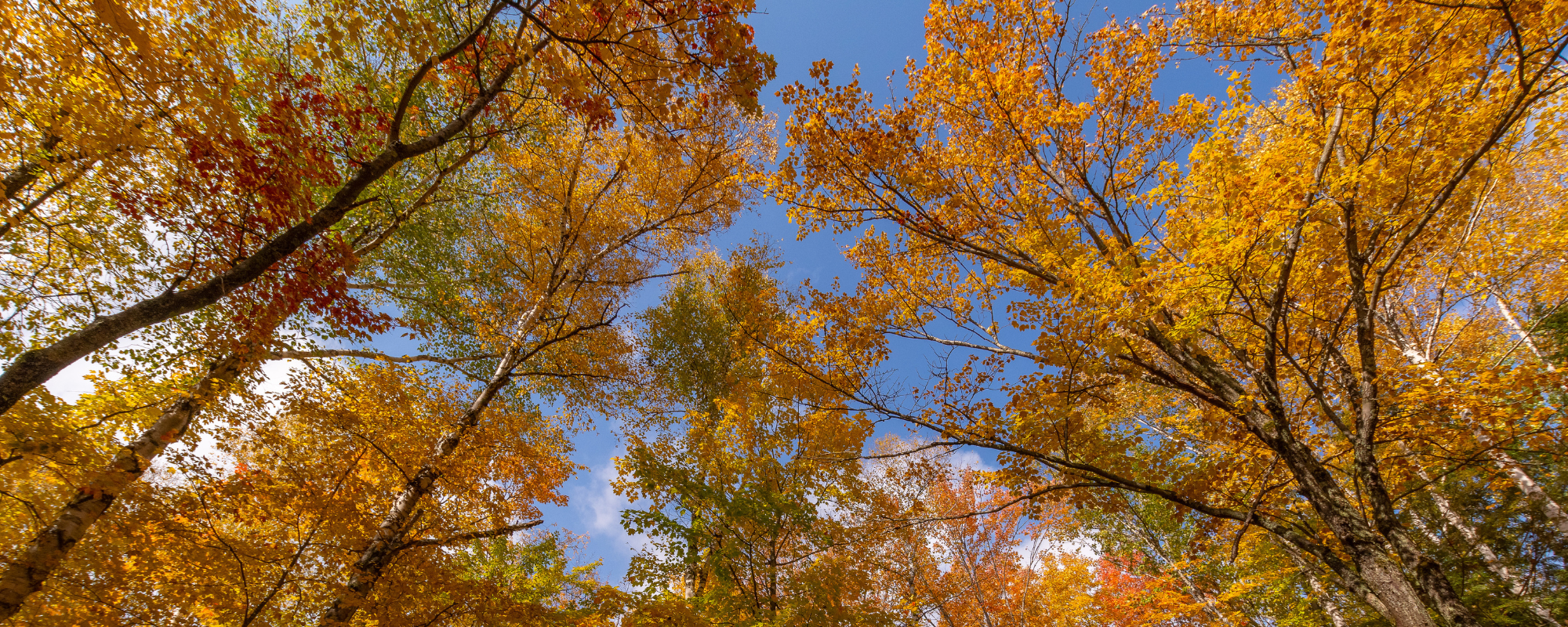
Fall is the best backpacking season; it’s not too hot, not too cold, and not too busy on the trails.
The best way to hike the Kabeyun with a group of people is to leave one vehicle at the South Kabeyun Trailhead and one at the North Kabeyun Trailhead, so that’s what we did. (If you only have one vehicle and have to backtrack, it will double your trip from 37 km to 74 km.)
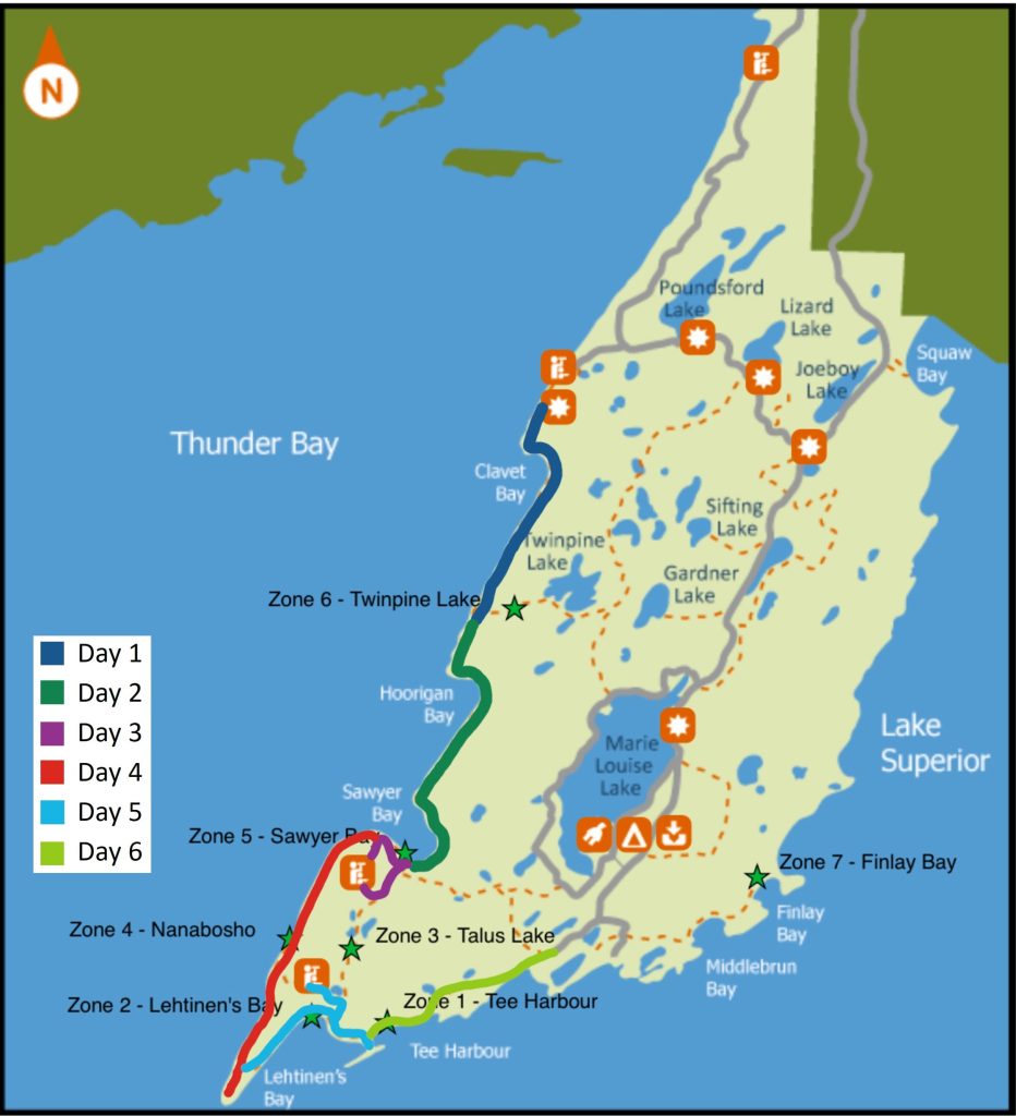
We decided to start the Kabeyun Trail at the north end and work our way south, but it’s possible to go south to north as well!
The best day hikes at Sleeping Giant branch off from the Kabeyun Trail, so we planned to do side trips to the Head, Nanabosho Lookout, the Top of the Giant, and the Sea Lion Trail along our way.
Let’s get into it!
Day 1: North Kabeyun Trailhead to Twinpine Lake
Length: 8.2 km (linear)
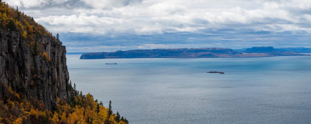
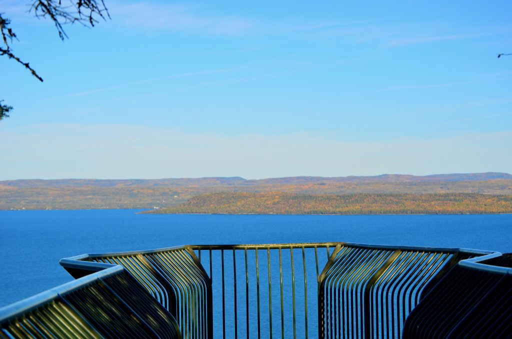
You can’t go to the North Kabeyun Trailhead without first walking out to the Thunder Bay Lookout! This viewing platform protrudes from the cliffs of the Sibley Peninsula over Lake Superior.
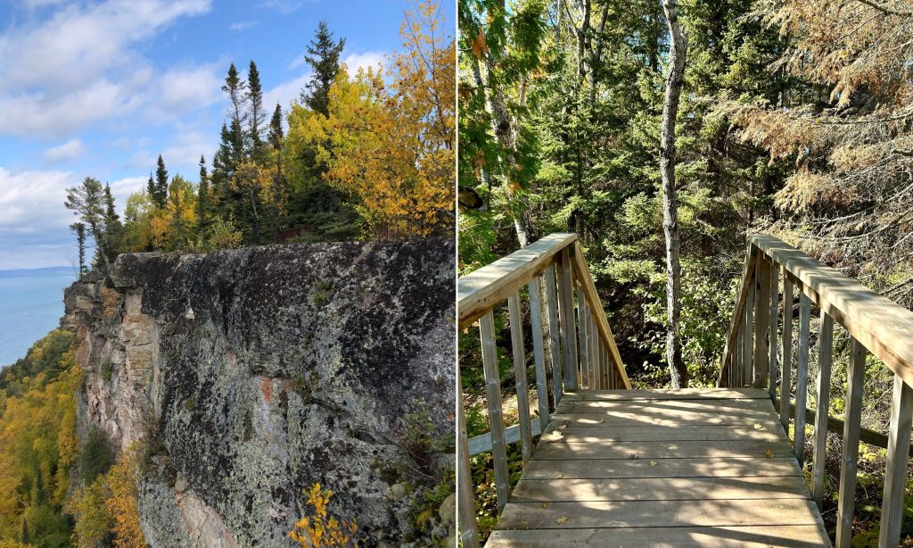
Here, atop some of the park’s highest vertical cliffs, you can see a sweeping view looking across this great lake towards the city of Thunder Bay.
From the North Kabeyun Trailhead, we started a steep descent towards Clavet Bay, our first break point about 2 km into the trip.
After a snack and a water break, we hopped back on the trail to head towards our campsite in the Twinpine Lake backcountry camping zone.
While less of a steep descent, there was still some elevation change both up and downhill. Along the way, we admired the layered rock along the Lake Superior shoreline.
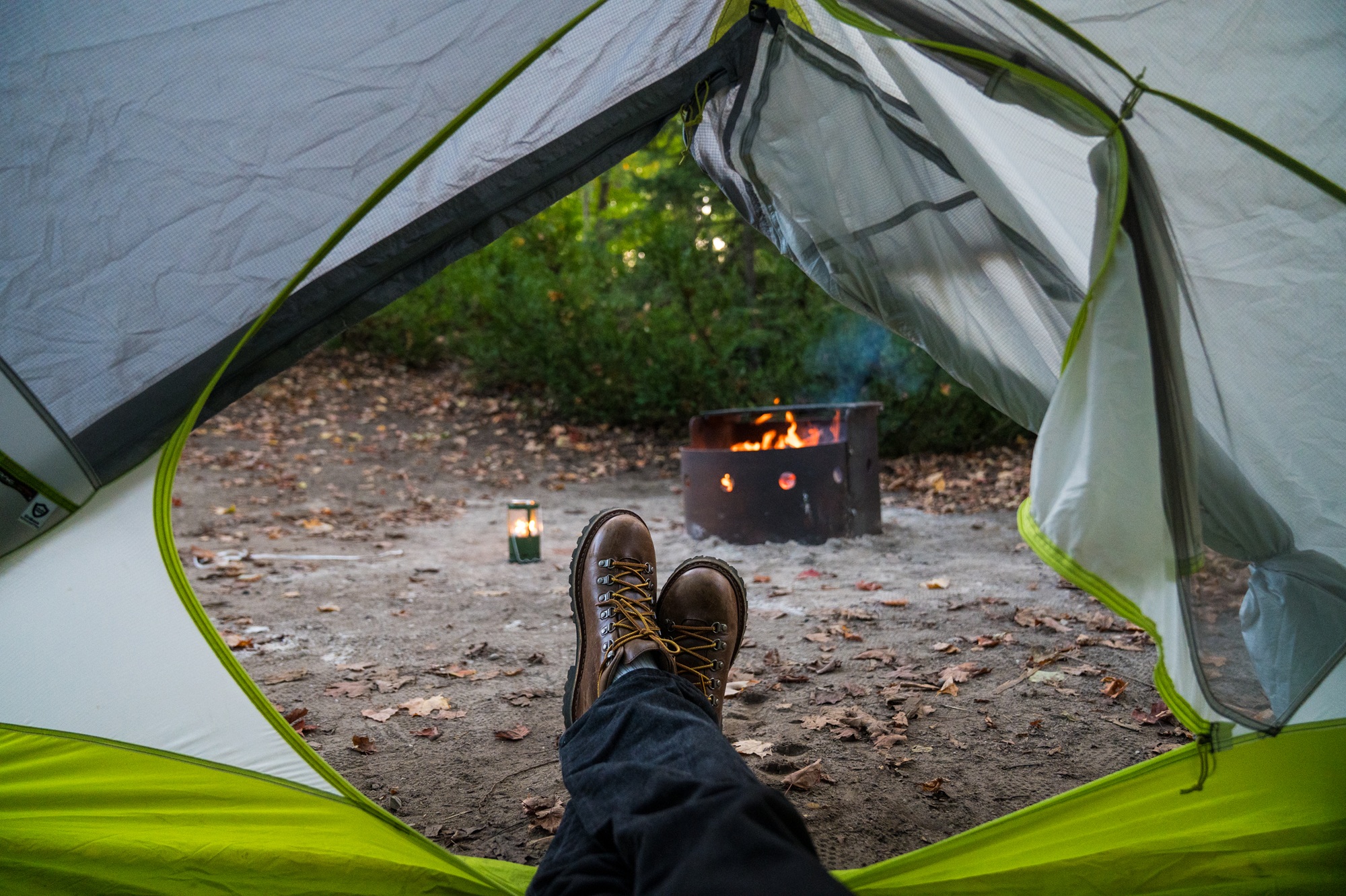
We made it to the Twinpine campsite after 8.2 km of backpacking. The campsite was right on the shore of Lake Superior and had a cobblestone path down to a rocky beach.
Twinpine Lake was very remote, and it was a lovely peaceful evening with no one else around.
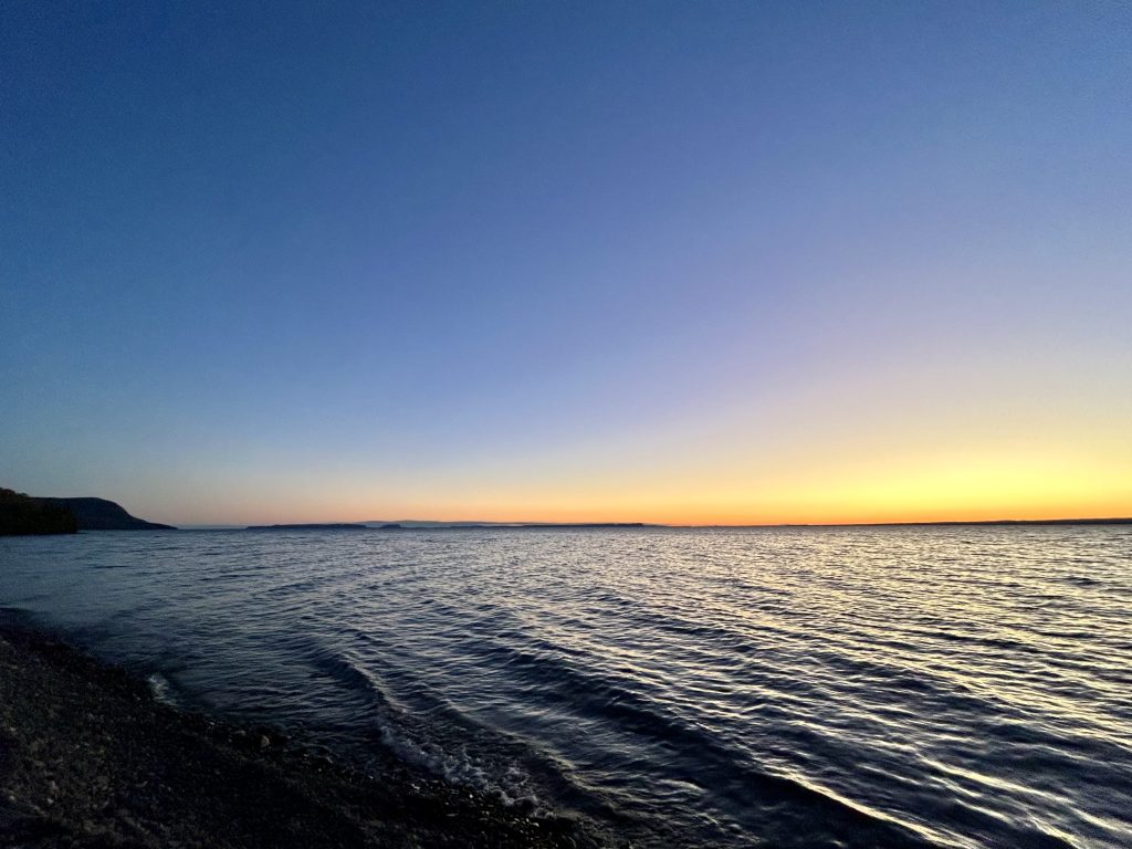
After dinner, we hung our food and other scented items in a bear hang, then walked down to the beach to watch the sunset.
Day 2: Twinpine Lake to Sawyer Bay
Length: 9.1 km (linear)
We continued our hike in the morning. Once we reached Hoorigan Bay we were able to see part of the Sleeping Giant rock formation in the distance.
After 3.5 km of hiking, we arrived the north end of Sawyer Bay. The Sleeping Giant was really taking shape, and it felt like we were getting close to our destination for the night.
Just over 9 km after leaving the Twinpine campsite, we reached our second campsite at Sawyer Bay.
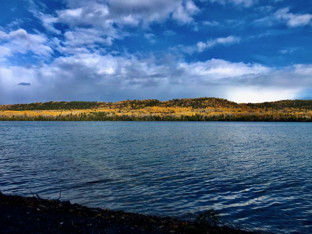
Sawyer Bay was beautiful and had two campsites right on the bay of Lake Superior. Unlike Twinpine, Sawyer Bay had an outhouse and a bear box. It felt downright luxurious!
Day 3 side trips: The Head Trail and Nanabosho Lookout Trail
Length: 8.4 km (total)
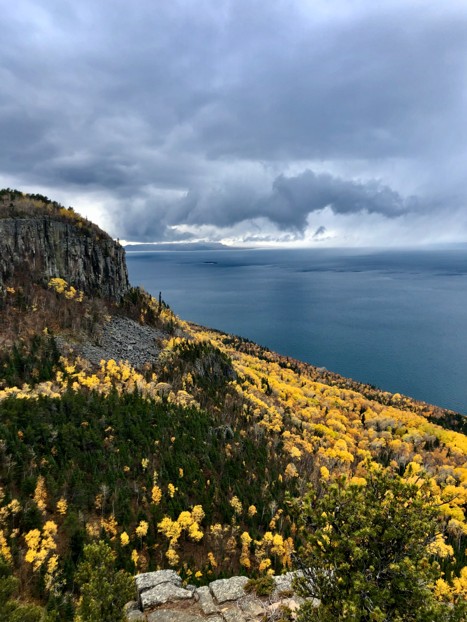
With another peaceful night on the shore of the big lake behind us, it was time for our first side trip: up the Head!
We left our backpacking bags at the foot of the climb and headed up the 1.4 km Head Trail.
While not a long distance from its trailhead, it was a very steep climb. Not hands and knees climbing, but a narrow, rocky, steep trail.
However, it was well worth it for the view from the top of the cliffs of the Giant!
The way down was a lot faster than the way up. We walked down from the head and started on our way to our second side trip!
Still using Sawyer Bay as a basecamp, we headed towards Talus Lake Trail to make our way to Nanabosho Lookout on the chest of the Giant.
Day 4: Sawyer Bay to Thunder Cape Bird Observatory
Length: 8.7 km (linear)
After a second night at Sawyer Bay, we continued on our trip around the far side of the Giant.
The trail is wide and flat, so it was easy to power through and walk down the side of the Giant in a few hours. It was super cool to see the cliffs of the Giant towering over us, knowing that we had just been to the top of them.
Below the feet of the Giant, at the tip of the Sibley Peninsula is the Thunder Cape Bird Observatory, which is run by volunteers who track bird migration through the park in the spring and fall.
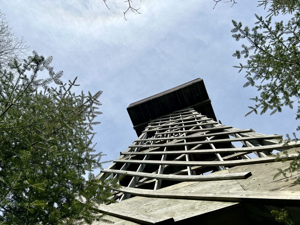
We made it in time to get a demonstration of bird banding from the observatory volunteers before spending the night at the campsite near the observatory. No bear box here, so we had to do another bear hang, but there was an outhouse!
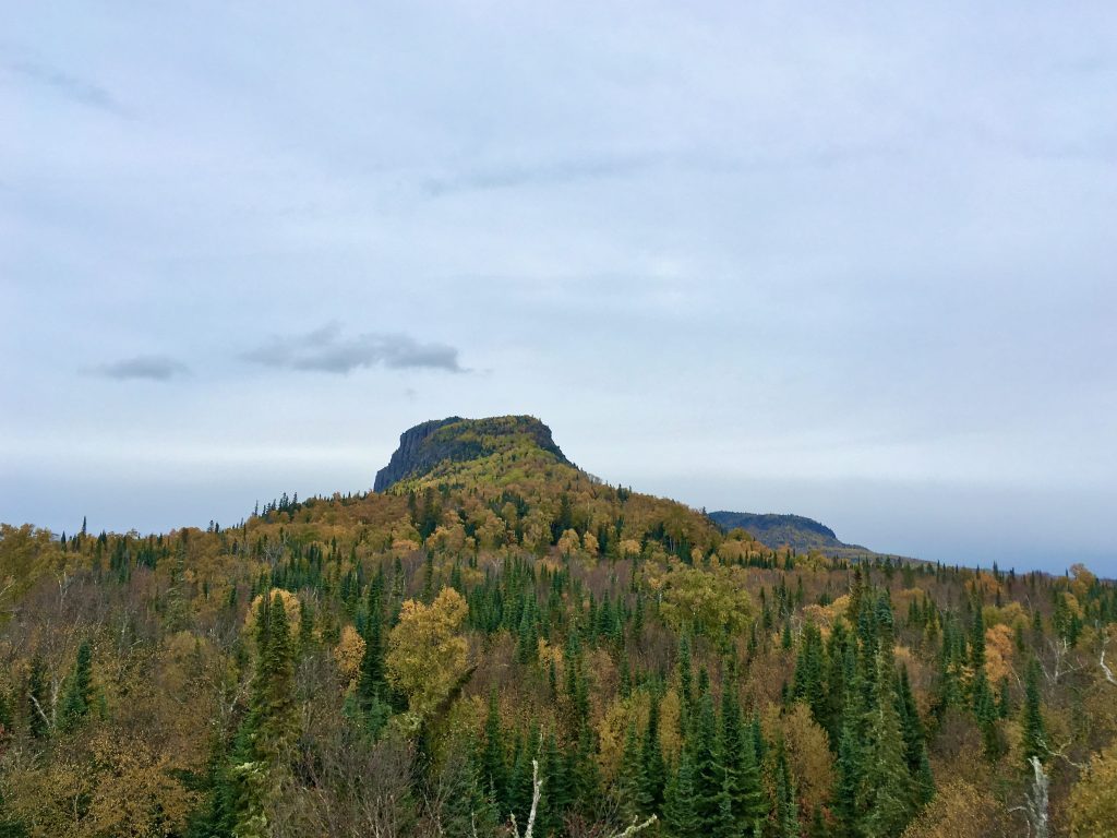
The observation tower at Thunder Cape gave us a splendid view of the Giant from the feet. We would have to climb over them soon, but for now we could just admire the view.
Day 5: Thunder Cape Bird Observatory to Tee Harbour
Length: 6.2 km (linear)
In the morning, we aimed to climb over the Sleeping Giant’s feet and head towards Tee Harbour for our last night of camping.
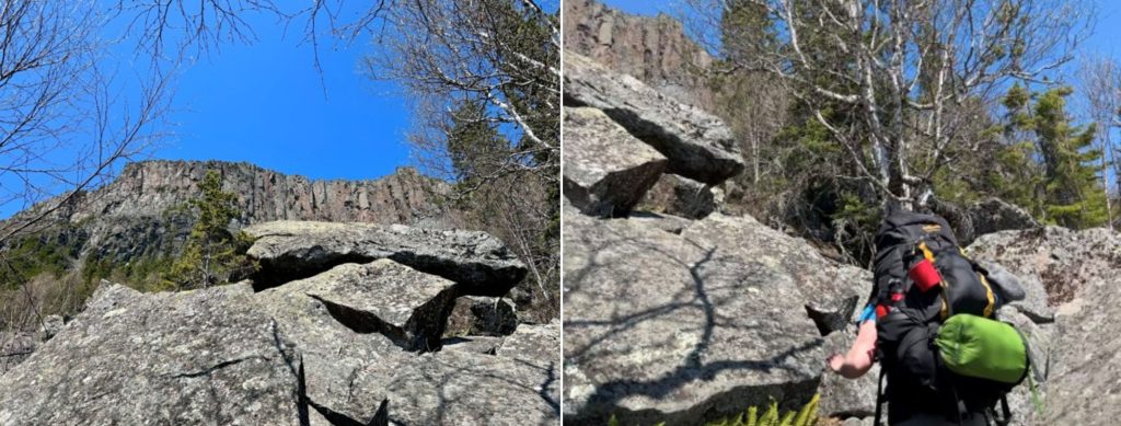
Before we got there, we had to scramble our way across the boulder field before Lehtinen’s Bay. It wasn’t long, but it was definitely harder than just walking on a trail. It was a lot of fun, though!
Day 5 side trip: Top of the Giant Trail
Length: 6.2 km (one way)
Just past Lehtinen’s Bay is the turnoff for the Top of the Giant Trail.
It added 8.4 km to our day, but we left our heavy bags behind again and just carried our food and water up with us in a day pack.
Our day’s journey went from 6.2 km to 14.6 km, but why not do one of Ontario’s most famous day hikes when it was so close?
We took Talus Lake Trail for about 1 km then turned onto the Top of the Giant Trail — thank goodness for the stairs added in 2022 and 2023!
We were taking turns carrying the day pack, but I volunteered to carry it up the steep parts. There was a brief bit of rain but overall, the overcast sky was nice to make sure we didn’t get too hot while climbing uphill.
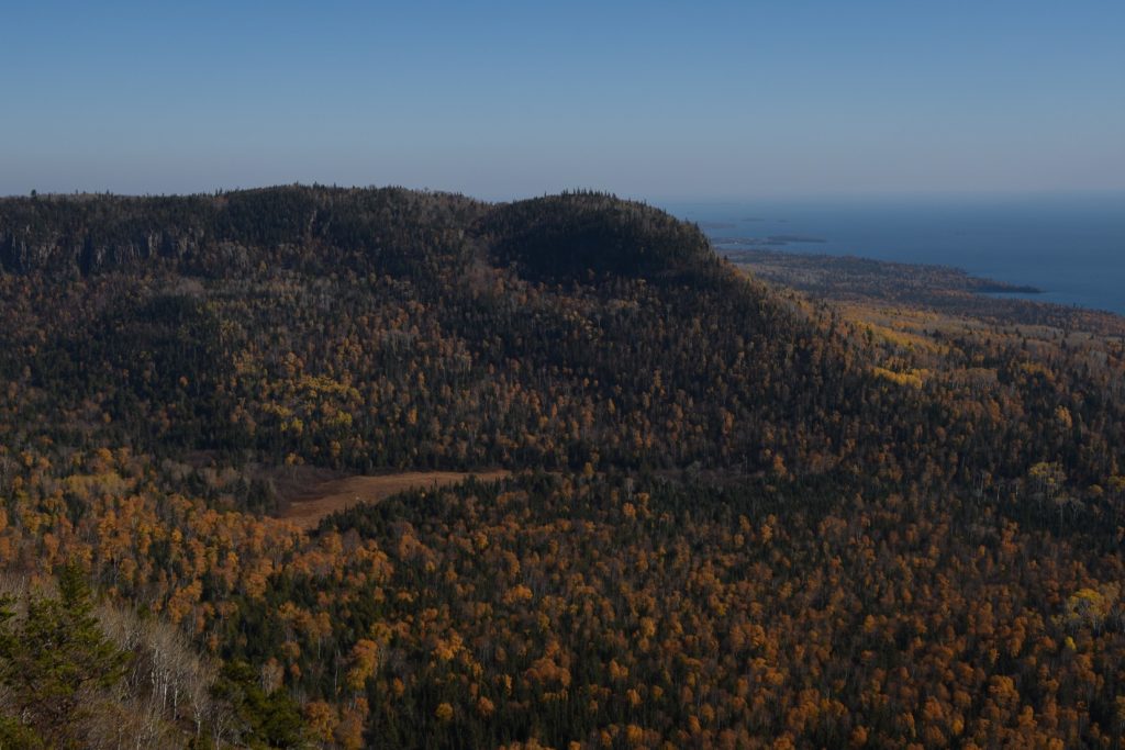
After we finished admiring the view, we hiked back down to the Kabeyun Trail and finished the last 900 m to Tee Harbour.
Tee Harbour was my favourite place in the park. This outcrop of rock in Lake Superior is home to arctic plants and truly interesting rocks from an ancient volcanic event.
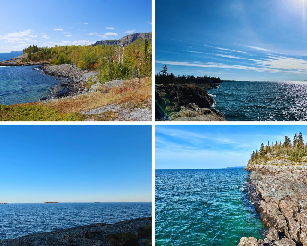
There are ten campsites in the zone. While they were all very nice, we decided to camp at Site 7 this time. Tee Harbour has two bear boxes and two outhouses, so we were in backpacking luxury.
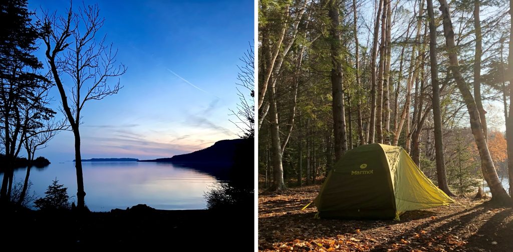
Our campsite faced the knees and feet of the Giant, so we could admire the whole area we had just hiked!
Day 6: Tee Harbour to South Kabeyun Trailhead
Length: 5.4 km (linear)
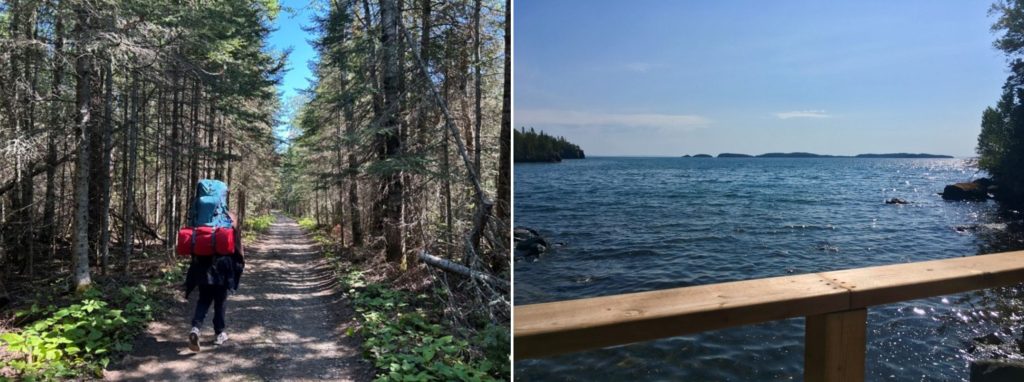
The next morning, we headed out of the backcountry and toward the South Kabeyun Trailhead.
Day 6 side trip: The Sea Lion Trail
Length: 400 m (one way)
Before we could leave, we had to do one last side trip to the Sea Lion!
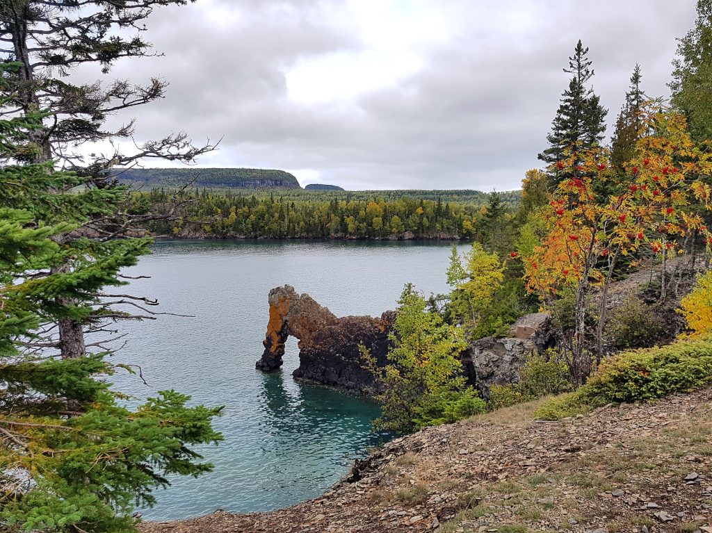
Finally, after six days, 37 km on the Kabeyun Trail and four side trips, we had made it from the North Kabeyun Trailhead!
Planning your trip
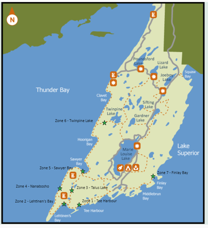
At Sleeping Giant, backcountry camping sites are divided into zones.
When you make a backcountry reservation, you book a spot in the zone. From there, it’s first come, first serve for campsite selection.
There are seven zones, five of which are located on the Kabeyun Trail.
Reservations can be made a maximum of five months in advance of date of arrival.
What to bring:
- tent
- sleeping bag
- sleeping pad
- backpack
- hiking boots
- food and cooking supplies (stove, fuel, dishes, utensils)
- water
- water filter
- first aid kit
- hand sanitizer
- toiletries and toilet paper
- whistle
- lighter or matches
- map, compass, and GPS
- clothing for all weather (rain or shine)
- flashlight and extra batteries
- rope and food sack for a bear hang
- garbage bag to carry out your waste
- camera or cell phone to capture the memoires (Note: there is no cell service in the park’s backcountry)
Still not convinced backpacking the Kabeyun Trail is for you? Learn more about backcountry camping at Sleeping Giant.
Visit Sleeping Giant to experience the Kabeyun Trail for yourself! If you can’t make it this fall, aim for a trip next season!
Sleeping Giant is located 1 hour east of Thunder Bay.