Why is the Hunter Island Loop the crowning achievement for so many canoeists?
With 232 kilometres of paddling and 34 portages, this hardy route travels through some of the best paddling Quetico Provincial Park has to offer.
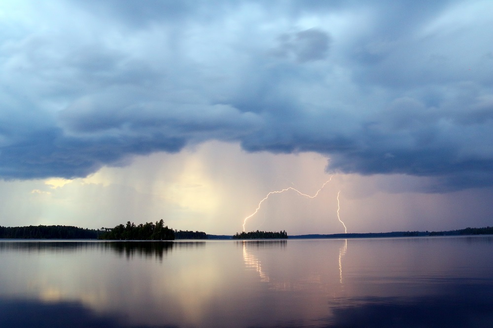
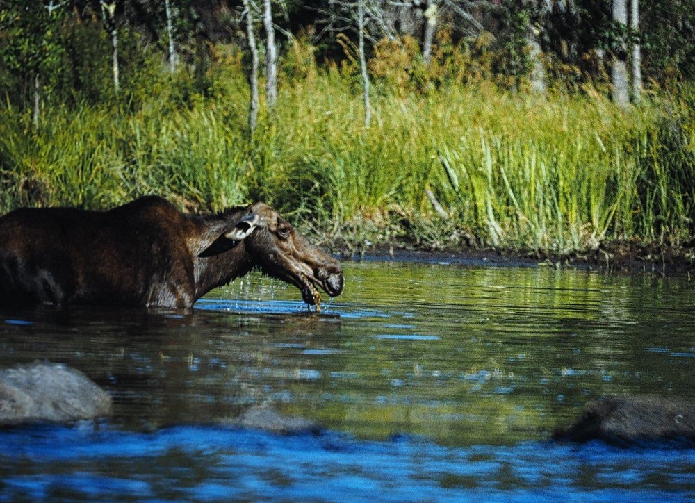
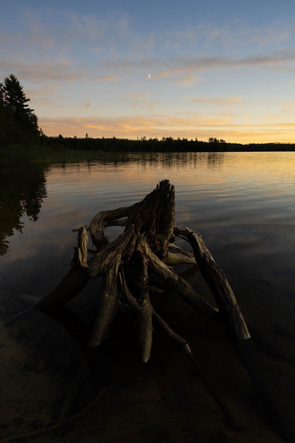
While travelling through truly rugged backcountry in the heart of canoe country, the route takes you to some of Quetico’s most beloved lakes and treasured cultural sites; the opportunities for exceptional backcountry camping, fishing, and Northern Lights viewing abound.
While Hunter Island is not technically an island, with a 400 m portage between Ottertrack Lake and Swamp Lake, a canoeist is either paddling flat water or portaging around white-water for the entire journey.
Let’s get into everything you need to know about tackling this loop:
~
Racing legends
Although most paddlers choose to complete the Hunter Island Loop leisurely in two weeks, part of the lore and prestige around the circuit comes from those who have raced it.
The sport of marathon canoe racing within Quetico Provincial Park has a long and storied history, although neither the Atikokan to Ely Race nor the Hunter Island Loop have annual official events anymore.
Standing record race times do exist for those who feel the need to test the limits of their physical and mental stamina.
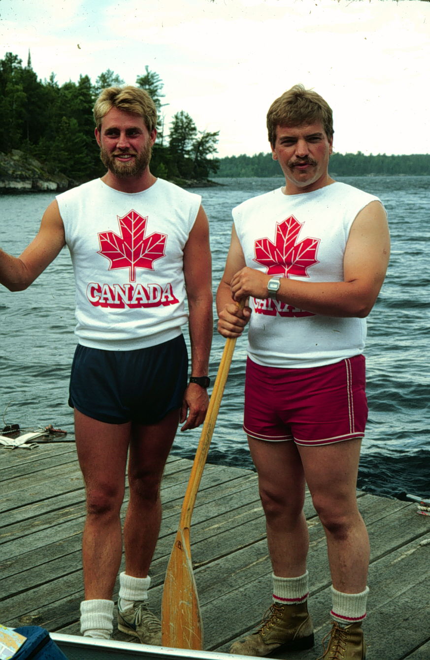
In 1994, there was quite the uproar when American long-distance paddlers Dan Litchfield and Steve Park from Ely, Minnesota, snatched the Hunter Island Loop record from a retired Quetico park ranger.
Joe Meany (Lac La Croix Ranger) and Keith Burand had held the record time at 33 hours and 38 minutes since 1985. It had previously been held by former Quetico Assistant Superintendent Wayne Bourque and his partner Randy Freitag since 1981.
Litchfield and Park, despite encountering strong westerly winds, would go on to beat their own 1994 record on summer solstice 2005. They completed the route in 28 hours, 27 minutes, and 15 seconds, an extremely fast time with an average speed of eight km/hour. It remains unbeaten to the present day.
~
Things to consider
Direction of travel: it is generally accepted that completing the Hunter Island Loop counterclockwise is easier due to the swift water of the Maligne River.
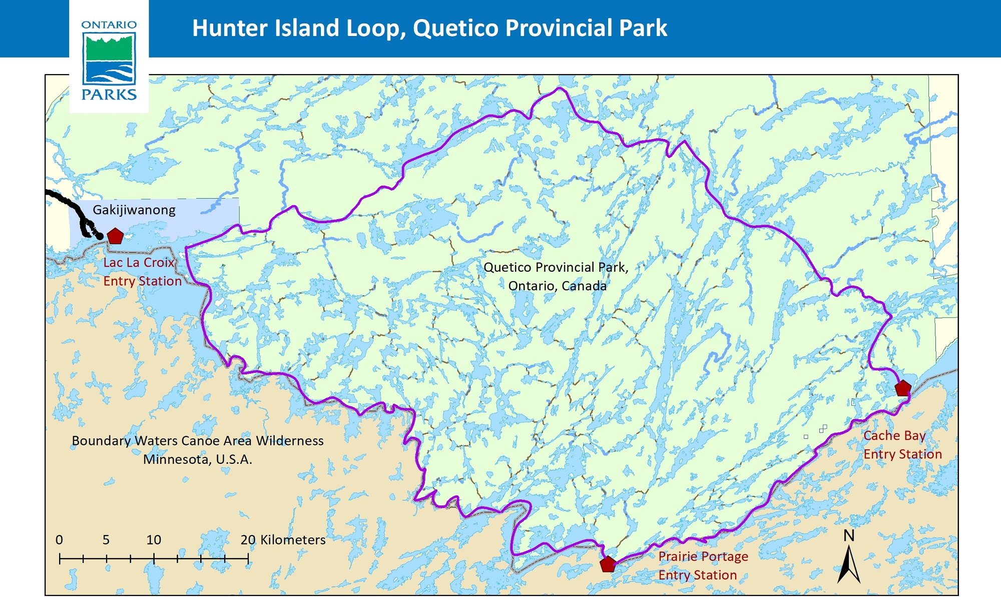
Starting location: three of the entry stations are situated directly on the Hunter Island Loop: Cache Bay, Prairie Portage, and Lac La Croix Entry Stations.
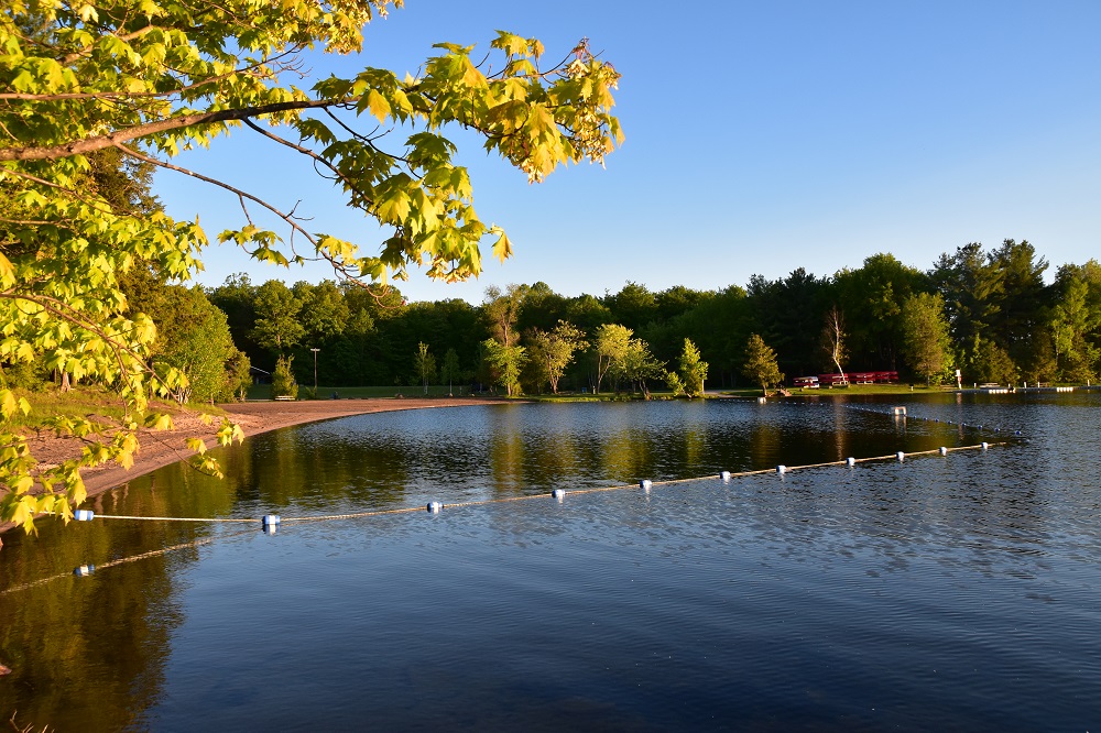
Large lakes: Lac La Croix, Sturgeon, and Basswood Lake are some of the larger lakes that are susceptible to winds and waves. You should allow one layover day for this possibility.
International border: roughly half of the route travels along American and Canadian border lakes. You’ll need to be aware of navigation. Border sections can also get busy!
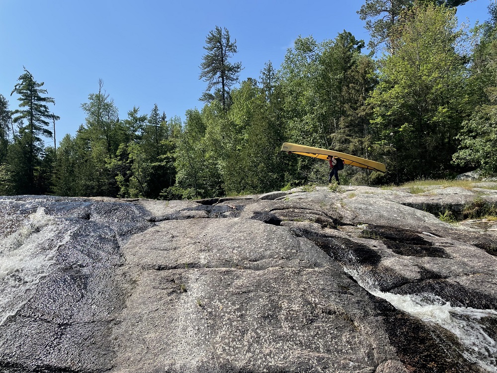
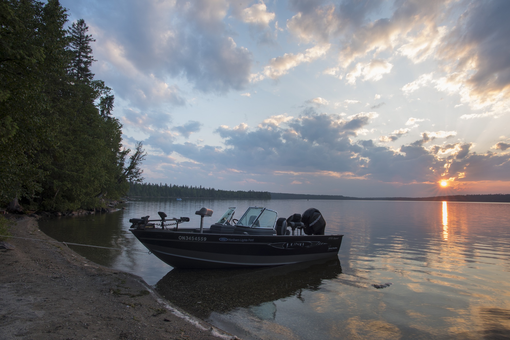
Moving water: 33 of the 34 portages go around white water and waterfalls, though you will still need to paddle some moving water. Pick up maps on how to navigate the Maligne River and Falls Chain safely at any of the park’s entry stations.
~
Taking the route
Here’s a summary that highlights some points of interest along each section of the route.
Whether you choose to tackle this loop in one big adventure or over several paddling seasons, you’re in for some of the finest canoeing in the world!
Remember to pick up your safety map from any park entry station so you know how to best navigate around the moving water.
~
Cache Bay Entry Station to Russell Lake
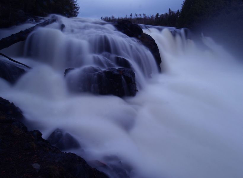
Leaving from Cache Bay you will portage around Silver Falls, which is perhaps one of the most beautiful falls in the park.
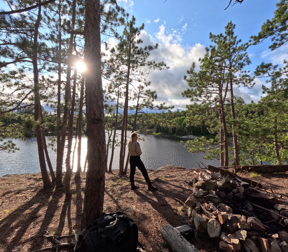
Once you are beyond the falls and onto Saganagons Lake, there is a multitude of high-quality camping options. Take these first couple of nights to really enjoy Quetico’s world-class starry skies.
Next, you’ll head to The Falls Chain. The melody of cascading water will be sure to relax you for a lunch stop or night’s rest.
Kawnipi Lake is one of the largest stretches of flatwater paddling in the Hunter Island Loop. It is known for a wonderful array of small islands and boasts some five-star camping to go with it.
~
Russell Lake to Lac La Croix Entry Station
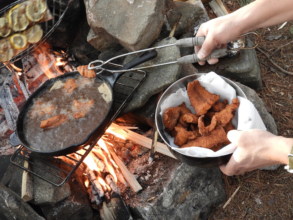
Anglers will want to linger on Russell Lake and by Chatterton Falls. Many canoeists travelling from the Canadian side of the park have Russell as their destination lake. Set yourself up to enjoy the sunset and the night bite.
Sturgeon Lake is special in that it holds some truly exceptional beaches.
Stop for a swim and stretch your paddling muscles before a potentially windy crossing to the top of the Maligne River.
Remember that the dominant wind in Quetico comes from the west, so be sure to hug the shoreline when appropriate.
Although there are some areas that you could camp on along the Maligne River in a pinch, we recommend trying to navigate down the river in one day and camping on Tanner Lake. Watch for bands of metasediments with quartz and cordierite-rich nodules along the Maligne River.
These bands were known by the voyageurs as “roches grenouilleux” or toad rocks because of their rough, warty texture.
~
Lac La Croix Entry Station to Prairie Portage Entry Station
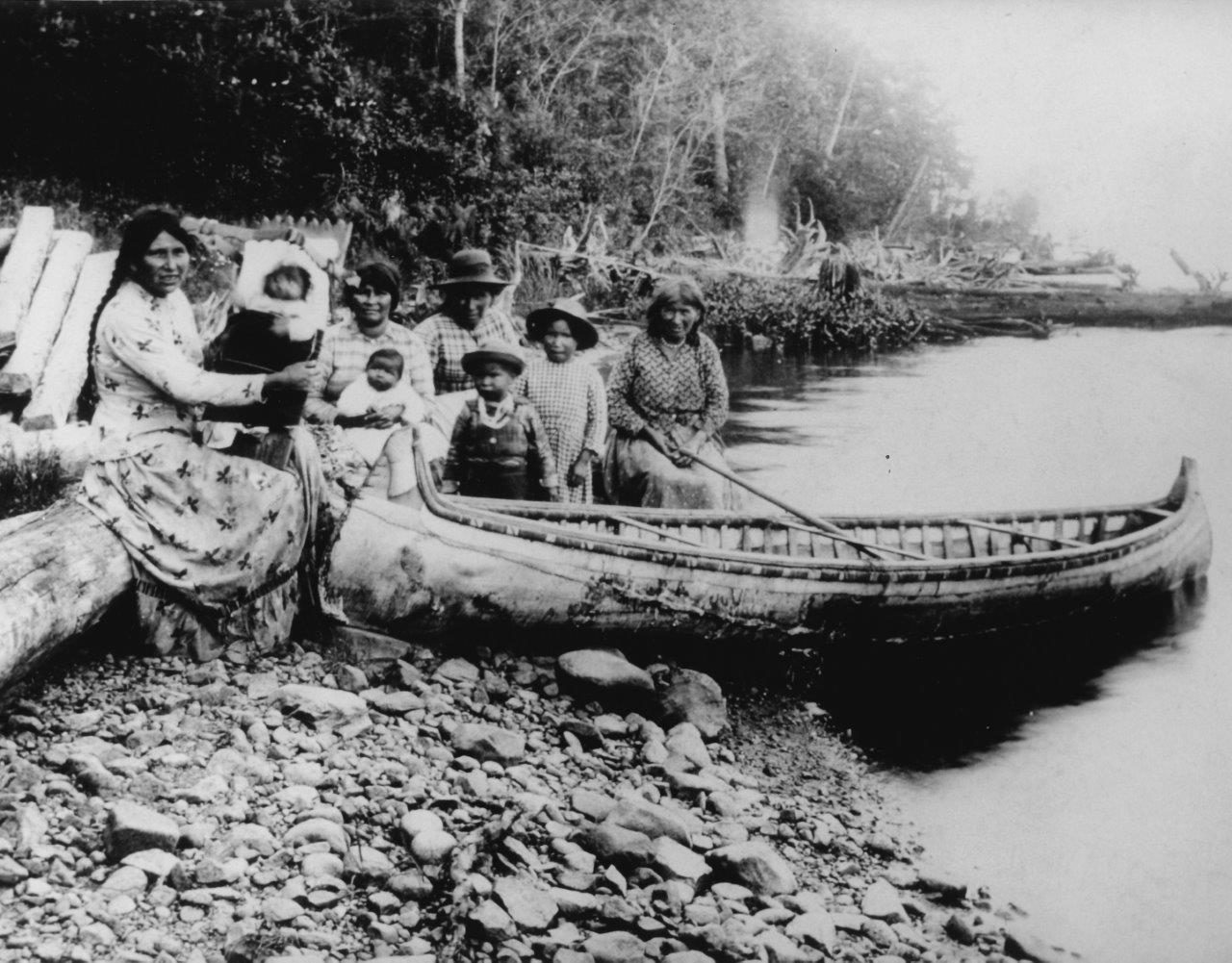
On this section of the Hunter Island Loop, you truly journey through history.
If you choose to start your route through Lac La Croix Entry Station, you will pass through the Indigenous community of Gakijiwanong.
Regardless of your starting location, you will be travelling along the traditional route of the Anishinaabeg, with many culturally significant locations in the area.
The largest pictograph site in Quetico is found on Zhingwaako Zaaga’igan (Lac La Croix). When paddling the lake, you will also pass under Warrior Hill. Anishinaabeg youth raced to the top of this steep hill to qualify for admittance into the Warrior Society.
This area also still contains extensive evidence of the fur trade. Underwater archaeologists found a Northwest Company flint rock trade gun at the base of Curtain Falls. It contained a charge of powder and a large lead shot.
Remnants of an old Hudson’s Bay Company post are found on the point north of Inlet Bay on Basswood Lake.
~
Prairie Portage Entry Station to Cache Bay Entry Station
Paddling this section is sure to impress with its dramatic greenstone cliffs and clear waters.
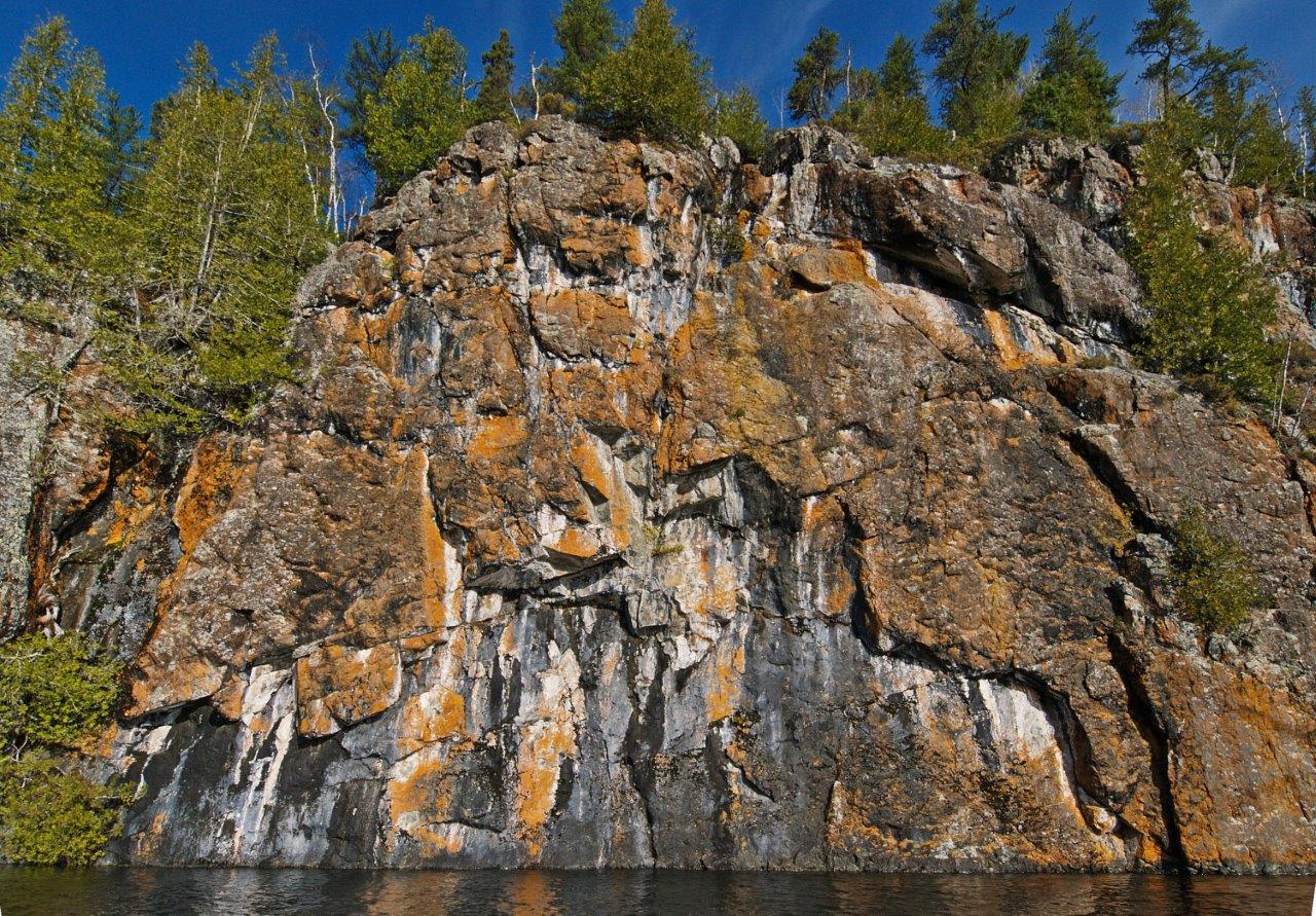
On Knife Lake’s north shore near the Big Knife Portage there is a beautiful large boulder of iron formation known as “Ribbon Rock,” displaying stunning bands of jasper, quartz, and magnetite.
This area of the park is also home to tree species not common in the rest of Quetico. Watch for Red Oak, Bur Oak, Red Ash, and Thimbleberry.
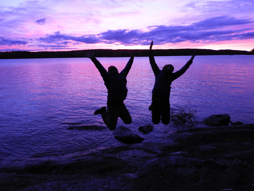
Uffdah! You’ve made it.
You completed the Hunter Island Loop – you’re a legend!
~
Need help planning your canoe route?
Call Quetico’s information line at (807) 597-2735 to speak with park staff.
Remember to reserve your trip in advance!
Quetico Provincial Park is located 1.5 hours west of Thunder Bay on Highway 11.